File:Wermsdorfer Wald Ruine Turmhuegelburg.jpg

Size of this preview: 799 × 599 pixels. Other resolutions: 320 × 240 pixels | 640 × 480 pixels | 1,024 × 768 pixels | 1,280 × 960 pixels | 2,560 × 1,920 pixels | 5,333 × 4,000 pixels.
Original file (5,333 × 4,000 pixels, file size: 13.92 MB, MIME type: image/jpeg)
Captions
Captions
Add a one-line explanation of what this file represents
Summary
edit
| Description |
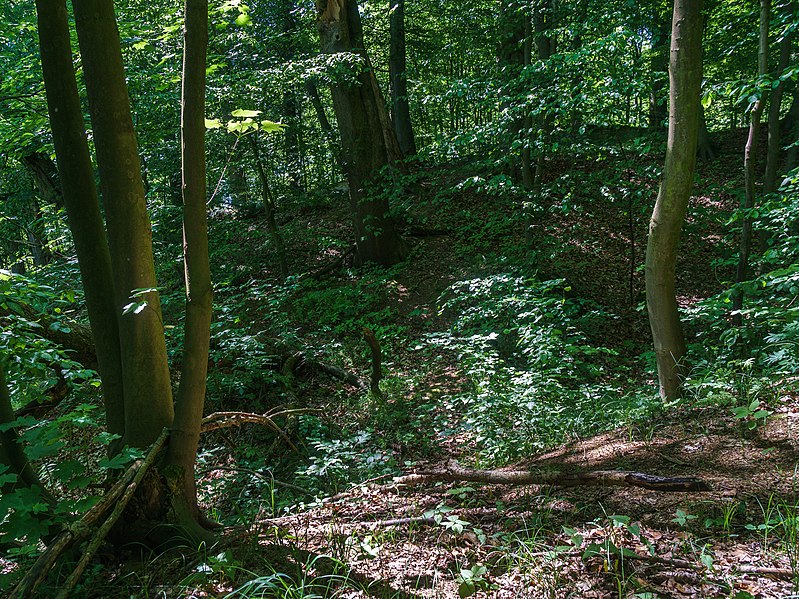
Deutsch: Blick vom westlichen Ufer Drei Teiche zur Ruine einer Turmhügelburg (rechter Bildrand), errichtet auf einem künstlich aufgeschütteten Hügel, südlich des wüsten Dorf Nennewitz im Wermsdorfer Wald |
| Date | |
| Source | Self-photographed |
| Author | Radler59 (talk) |
| Camera location | | View this and other nearby images on: OpenStreetMap |
|---|
Licensing
edit
This file is licensed under the Creative Commons Attribution 4.0 International license.
- You are free:
- to share – to copy, distribute and transmit the work
- to remix – to adapt the work
- Under the following conditions:
- attribution – You must give appropriate credit, provide a link to the license, and indicate if changes were made. You may do so in any reasonable manner, but not in any way that suggests the licensor endorses you or your use.
File history
Click on a date/time to view the file as it appeared at that time.
| Date/Time | Thumbnail | Dimensions | User | Comment | |
|---|---|---|---|---|---|
| current | 22:30, 6 February 2021 | | 5,333 × 4,000 (13.92 MB) | Radler59 (talk | contribs) | Uploaded with LrMediaWiki 1.2.0, LR 5.7.1 Win |
You cannot overwrite this file.
File usage on Commons
The following page uses this file: