File:West Macdonnell Ranges Larapinta Trail section 4 path to Brinkley Bluff.jpg

Size of this preview: 800 × 479 pixels. Other resolutions: 320 × 192 pixels | 640 × 383 pixels | 1,024 × 613 pixels | 1,280 × 767 pixels | 2,560 × 1,533 pixels | 4,899 × 2,934 pixels.
Original file (4,899 × 2,934 pixels, file size: 4.98 MB, MIME type: image/jpeg)
Captions
Captions
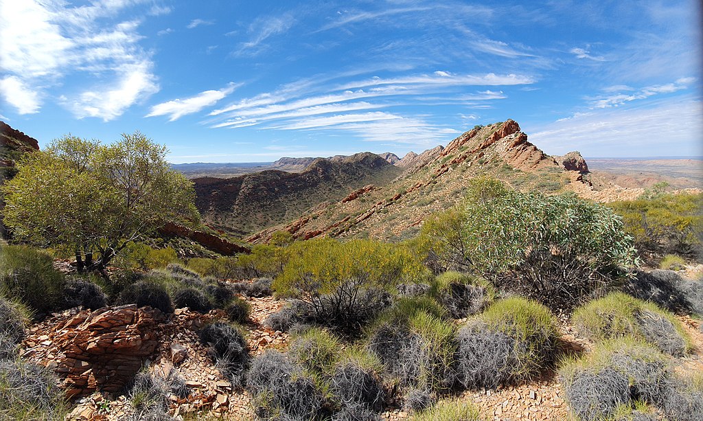
Larapinta Trail section 4, path up to Brinkley Bluff
Summary edit
| Description | |
| Date | |
| Source | Own work |
| Author | Kattastroffee1976 |
| Camera location | | View this and other nearby images on: OpenStreetMap |
|---|
This image was uploaded as part of Wiki Loves Earth 2021.
|
 |
Assessment edit

|
This image won the 1st prize in the national contest of Australia in Wiki Loves Earth 2021 Other languages:
|
Licensing edit
I, the copyright holder of this work, hereby publish it under the following license:
This file is licensed under the Creative Commons Attribution-Share Alike 4.0 International license.
- You are free:
- to share – to copy, distribute and transmit the work
- to remix – to adapt the work
- Under the following conditions:
- attribution – You must give appropriate credit, provide a link to the license, and indicate if changes were made. You may do so in any reasonable manner, but not in any way that suggests the licensor endorses you or your use.
- share alike – If you remix, transform, or build upon the material, you must distribute your contributions under the same or compatible license as the original.
File history
Click on a date/time to view the file as it appeared at that time.
| Date/Time | Thumbnail | Dimensions | User | Comment | |
|---|---|---|---|---|---|
| current | 04:12, 27 May 2021 | | 4,899 × 2,934 (4.98 MB) | Kattastroffee1976 (talk | contribs) | Uploaded own work with UploadWizard |
You cannot overwrite this file.
File usage on Commons
The following 5 pages use this file: