File:West Vancouver from the ferry (2).jpg
Size of this preview: 800 × 543 pixels. Other resolutions: 320 × 217 pixels | 640 × 434 pixels | 1,024 × 695 pixels | 1,280 × 868 pixels | 2,560 × 1,737 pixels | 5,648 × 3,832 pixels.
Original file (5,648 × 3,832 pixels, file size: 12.56 MB, MIME type: image/jpeg)
Captions
Captions
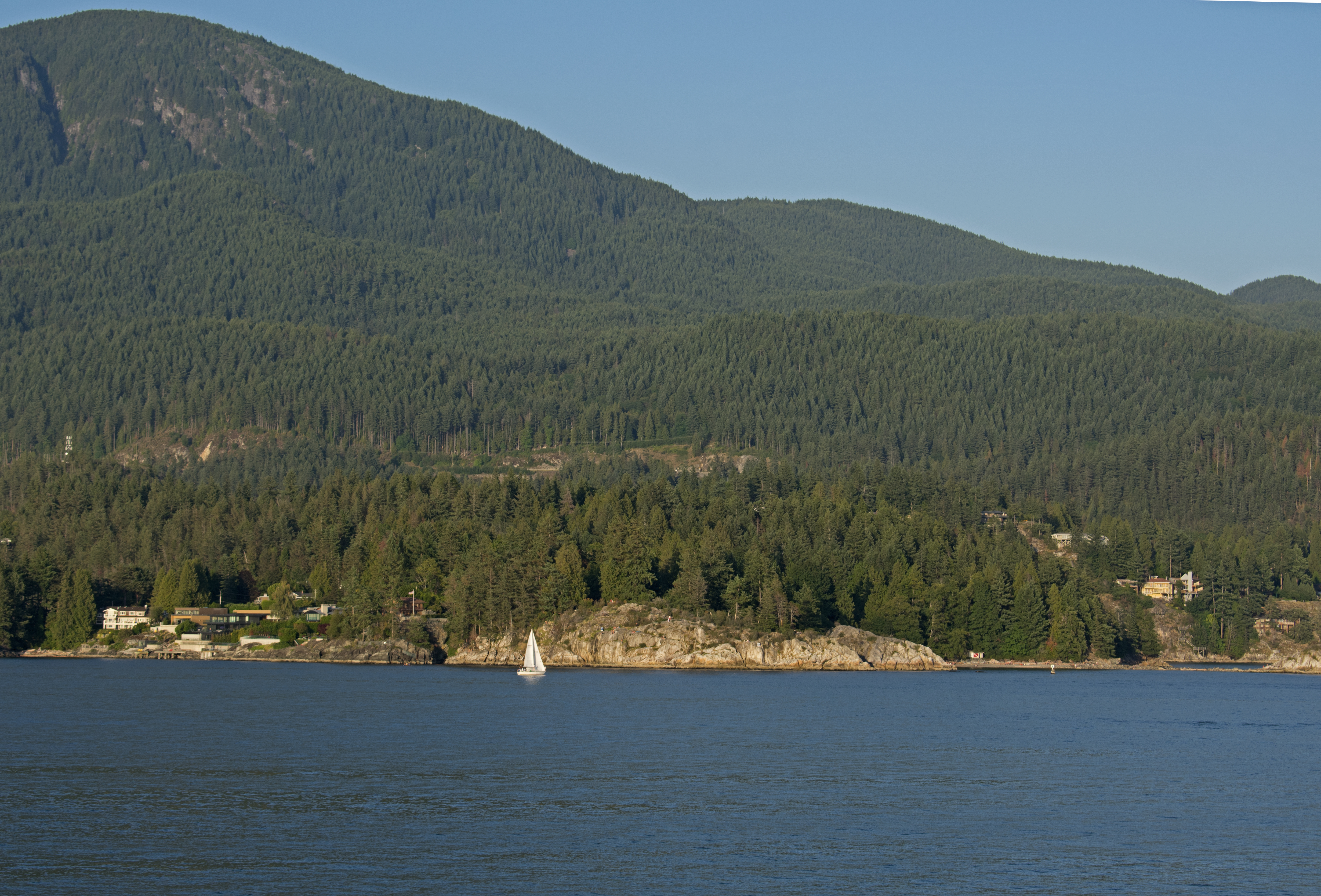
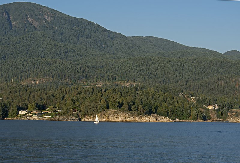
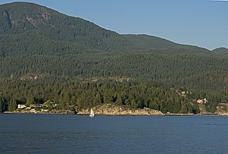
West Vancouver (Whytecliff and Gleaneagles) from the ferry
Summary
edit.jpg&action=edit§ion=1)
| Description |
English: Whytecliff and Gleneagles from the ferry. White Cliff point is in the middle; far right is Whyte Islet, and Batchelor Cove is visible at the background. The houses on the left are Whytecliff, on the right, Gleneagles. |
| Date | 8 August 2019, 03:33:14 −09:00 |
| Source | Own work |
| Author | Ymblanter |
| Camera location | | View this and other nearby images on: OpenStreetMap |
|---|
.jpg¶ms=049.373820_N_-123.299100_E_globe:Earth_type:camera__&language=en)
Licensing
edit.jpg&action=edit§ion=2)
I, the copyright holder of this work, hereby publish it under the following license:
This file is licensed under the Creative Commons Attribution-Share Alike 4.0 International license.
- You are free:
- to share – to copy, distribute and transmit the work
- to remix – to adapt the work
- Under the following conditions:
- attribution – You must give appropriate credit, provide a link to the license, and indicate if changes were made. You may do so in any reasonable manner, but not in any way that suggests the licensor endorses you or your use.
- share alike – If you remix, transform, or build upon the material, you must distribute your contributions under the same or compatible license as the original.
File history
Click on a date/time to view the file as it appeared at that time.
| Date/Time | Thumbnail | Dimensions | User | Comment | |
|---|---|---|---|---|---|
| current | 15:12, 21 April 2020 | | 5,648 × 3,832 (12.56 MB) | Ymblanter (talk | contribs) | Uploaded own work with UploadWizard |
You cannot overwrite this file.
File usage on Commons
There are no pages that use this file.
.jpg&oldid=688830633)