File:Westewitz Lage.png
No higher resolution available.
Westewitz_Lage.png (579 × 565 pixels, file size: 516 KB, MIME type: image/png)
Captions
Captions
Add a one-line explanation of what this file represents
Summary
edit
| Description |
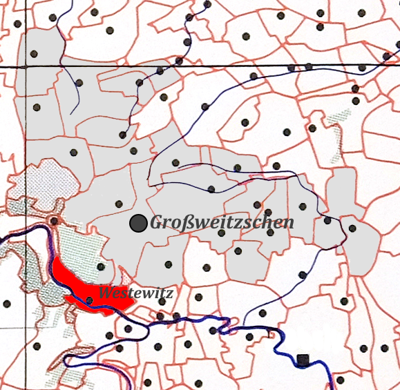
Deutsch: Lage von Westewitz im Gebiet von Großweitzschen |
| Date | |
| Source | Grundkarte von Deutschland, Section Döbeln/Chemnitz, herausgegeben von der Kgl. Sächs. Kommission für Geschichte (ohne Jahrangabe). |
| Author | Unknown author |
Licensing
edit
|
This work is in the public domain in its country of origin and other countries and areas where the copyright term is the author's life plus 70 years or fewer. This work is in the public domain in the United States because it was published (or registered with the U.S. Copyright Office) before January 1, 1929. | |
| This file has been identified as being free of known restrictions under copyright law, including all related and neighboring rights. | |
File history
Click on a date/time to view the file as it appeared at that time.
| Date/Time | Thumbnail | Dimensions | User | Comment | |
|---|---|---|---|---|---|
| current | 16:22, 14 November 2015 | | 579 × 565 (516 KB) | Gentzsch (talk | contribs) | User created page with UploadWizard |
You cannot overwrite this file.
File usage on Commons
The following page uses this file:
File usage on other wikis
The following other wikis use this file:
- Usage on de.wikipedia.org
- Usage on www.wikidata.org