File:Westliche Ostalpen.png

Size of this preview: 617 × 600 pixels. Other resolutions: 247 × 240 pixels | 494 × 480 pixels | 790 × 768 pixels | 1,053 × 1,024 pixels | 2,106 × 2,048 pixels | 4,000 × 3,889 pixels.
Original file (4,000 × 3,889 pixels, file size: 6.72 MB, MIME type: image/png)
Captions
Captions
Add a one-line explanation of what this file represents
| Description |
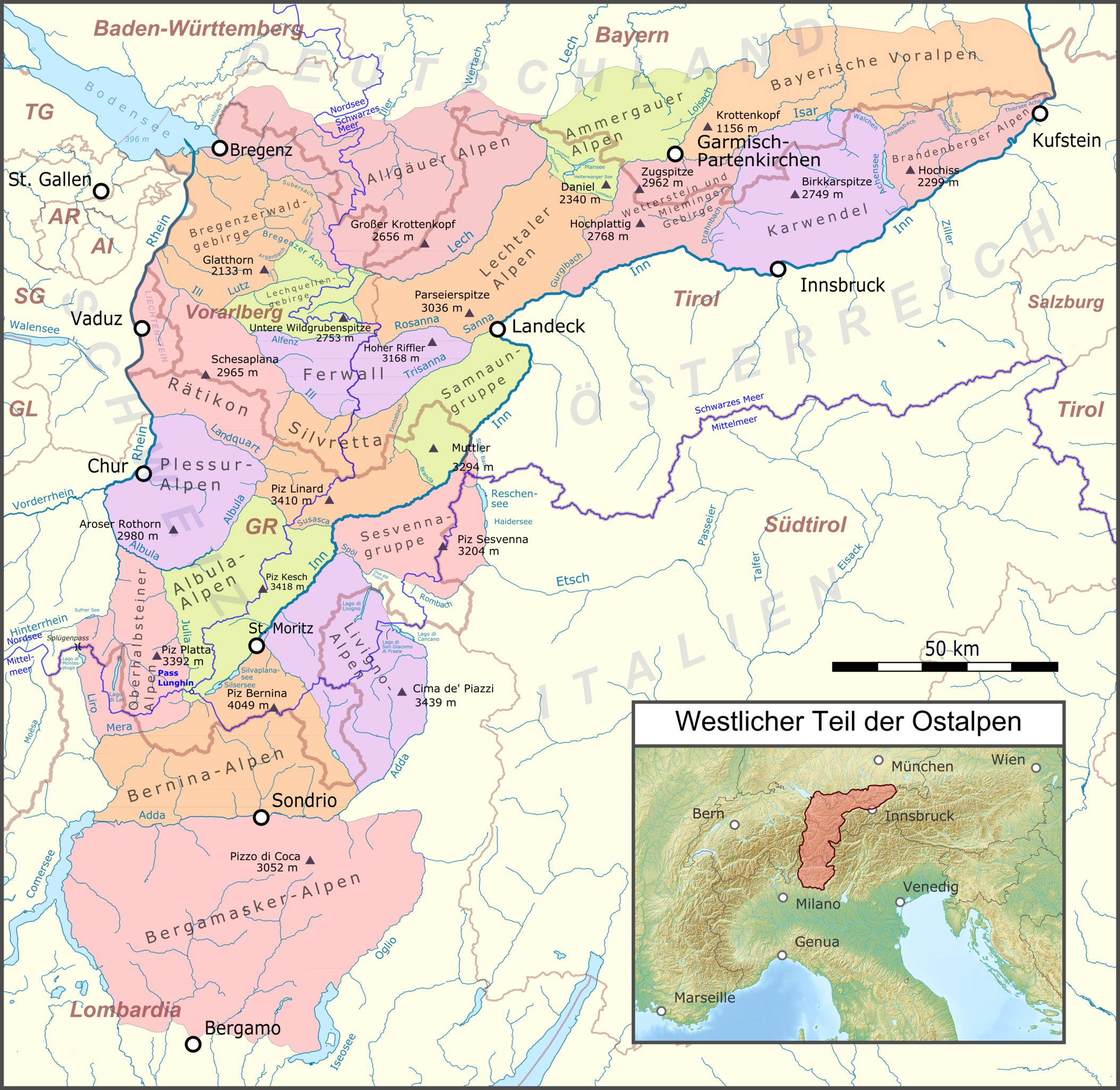
Deutsch: Lagekarte der westlichen Ostalpen |
|||||||||
| Date | ||||||||||
| Source |
Map was created using:
|
|||||||||
| Creator |
|
|||||||||
| Permission (Reusing this file) |
Map data (c) OpenStreetMap (and) contributors, CC-BY-SA | |||||||||
| Geotemporal data | ||||||||||
| Bounding box |
|
|||||||||
| Georeferencing | ||||||||||
I, the copyright holder of this work, hereby publish it under the following licenses:

|
Permission is granted to copy, distribute and/or modify this document under the terms of the GNU Free Documentation License, Version 1.2 or any later version published by the Free Software Foundation; with no Invariant Sections, no Front-Cover Texts, and no Back-Cover Texts. A copy of the license is included in the section entitled GNU Free Documentation License. |
This file is licensed under the Creative Commons Attribution-Share Alike 3.0 Unported license.
- You are free:
- to share – to copy, distribute and transmit the work
- to remix – to adapt the work
- Under the following conditions:
- attribution – You must give appropriate credit, provide a link to the license, and indicate if changes were made. You may do so in any reasonable manner, but not in any way that suggests the licensor endorses you or your use.
- share alike – If you remix, transform, or build upon the material, you must distribute your contributions under the same or compatible license as the original.
You may select the license of your choice.
File history
Click on a date/time to view the file as it appeared at that time.
| Date/Time | Thumbnail | Dimensions | User | Comment | |
|---|---|---|---|---|---|
| current | 04:34, 17 January 2019 | | 4,000 × 3,889 (6.72 MB) | Pechristener (talk | contribs) | improved color scheme |
| 11:04, 23 August 2018 |  | 4,000 × 3,889 (6.76 MB) | Pechristener (talk | contribs) | Lago di Monte Spluga, Adria, Verwall | |
| 21:01, 6 December 2016 |  | 4,000 × 3,889 (6.76 MB) | Pechristener (talk | contribs) | Höhe Piz Linard korrigiert | |
| 19:07, 9 August 2016 |  | 4,000 × 3,889 (6.76 MB) | Pechristener (talk | contribs) | smaller graphic to avoid browser crash | |
| 07:34, 8 August 2016 |  | 4,812 × 4,679 (8.91 MB) | Pechristener (talk | contribs) | Berninagruppe => Bernina-Alpen, andere Kleinigkeiten | |
| 19:49, 18 May 2015 |  | 4,812 × 4,679 (8.92 MB) | Pechristener (talk | contribs) | korr Grenze zu den Appenzeller Alpen, erg Splügenpass | |
| 20:45, 9 April 2015 |  | 4,812 × 4,679 (8.87 MB) | Pechristener (talk | contribs) | diverse Ergänzungen: Europäische Hauptwasserscheide hinzu, Höchste Gipfel pro Gruppe hinzu | |
| 21:03, 26 March 2015 |  | 4,812 × 4,679 (3.43 MB) | Pechristener (talk | contribs) | Grenzbäche zwischen den Gruppen dazugefügt | |
| 21:34, 22 March 2015 |  | 4,812 × 4,679 (3.32 MB) | Pechristener (talk | contribs) | Städte hinzu, Flüsse beschriftet | |
| 10:35, 22 March 2015 |  | 4,812 × 4,679 (3.14 MB) | Pechristener (talk | contribs) | {{Information |Description={{de|1=Lagekarte der westlichen Ostalpen}} |Source = Map was created using: *[http://www.openstreetmap.org/ Open Street Map] Data *Alps location map.png for l... |
You cannot overwrite this file.
File usage on Commons
The following 5 pages use this file:
File usage on other wikis
The following other wikis use this file:
- Usage on de.wikipedia.org
- Usage on es.wikipedia.org