File:Westtangente Freising.png

Size of this preview: 600 × 600 pixels. Other resolutions: 240 × 240 pixels | 480 × 480 pixels | 768 × 768 pixels | 1,024 × 1,024 pixels | 2,048 × 2,048 pixels | 3,222 × 3,222 pixels.
Original file (3,222 × 3,222 pixels, file size: 1.69 MB, MIME type: image/png)
Captions
Captions
Add a one-line explanation of what this file represents
| Description |
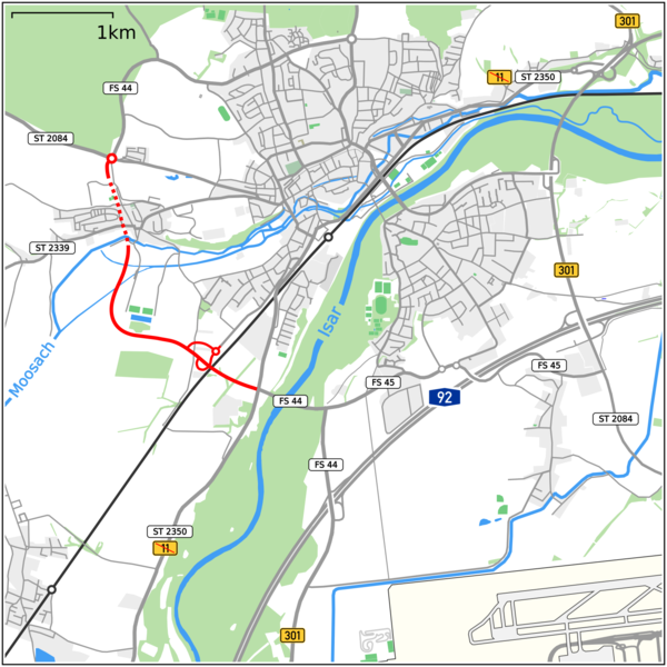
Deutsch: Karte der Westtangente Freising |
|||
| Date | ||||
| Source |
map data by Openstreetmap
|
|||
| Author |
|
This file is licensed under the Creative Commons Attribution-Share Alike 2.0 Generic license.
- You are free:
- to share – to copy, distribute and transmit the work
- to remix – to adapt the work
- Under the following conditions:
- attribution – You must give appropriate credit, provide a link to the license, and indicate if changes were made. You may do so in any reasonable manner, but not in any way that suggests the licensor endorses you or your use.
- share alike – If you remix, transform, or build upon the material, you must distribute your contributions under the same or compatible license as the original.
File history
Click on a date/time to view the file as it appeared at that time.
| Date/Time | Thumbnail | Dimensions | User | Comment | |
|---|---|---|---|---|---|
| current | 19:02, 17 July 2021 | | 3,222 × 3,222 (1.69 MB) | Vuxi (talk | contribs) | Ostumfahrung, Farbanpassung |
| 20:05, 17 May 2016 |  | 1,986 × 1,986 (1.74 MB) | Vuxi (talk | contribs) | Farben | |
| 17:24, 16 January 2016 |  | 1,986 × 1,986 (1.65 MB) | Vuxi (talk | contribs) | Herabstufung B11 | |
| 18:23, 7 May 2015 |  | 1,991 × 1,991 (1.66 MB) | Vuxi (talk | contribs) | . | |
| 08:46, 14 March 2015 |  | 1,991 × 1,991 (1.62 MB) | Vuxi (talk | contribs) | . | |
| 15:20, 24 January 2015 |  | 1,872 × 1,627 (1.44 MB) | Vuxi (talk | contribs) | {{Information |description={{de|1=Karte der Westtangente Freising}} |date=2015-01-24 |source=OpenStreetMap data exported and adapted by myself |author=*map by OpenStreetMap contributors, All OpenStreetMap data and maps are Creative Commons "CC-BY-S... |
You cannot overwrite this file.
File usage on Commons
The following 6 pages use this file:
File usage on other wikis
The following other wikis use this file:
- Usage on de.wikipedia.org