File:Wimereux - P.-de-C. – La Digue E.S.1442.jpg
Size of this preview: 800 × 521 pixels. Other resolutions: 320 × 208 pixels | 640 × 417 pixels | 1,024 × 667 pixels | 1,280 × 833 pixels | 2,560 × 1,666 pixels | 3,283 × 2,137 pixels.
Original file (3,283 × 2,137 pixels, file size: 4.29 MB, MIME type: image/jpeg)
Captions
Captions
Add a one-line explanation of what this file represents
Summary
edit
| Description |
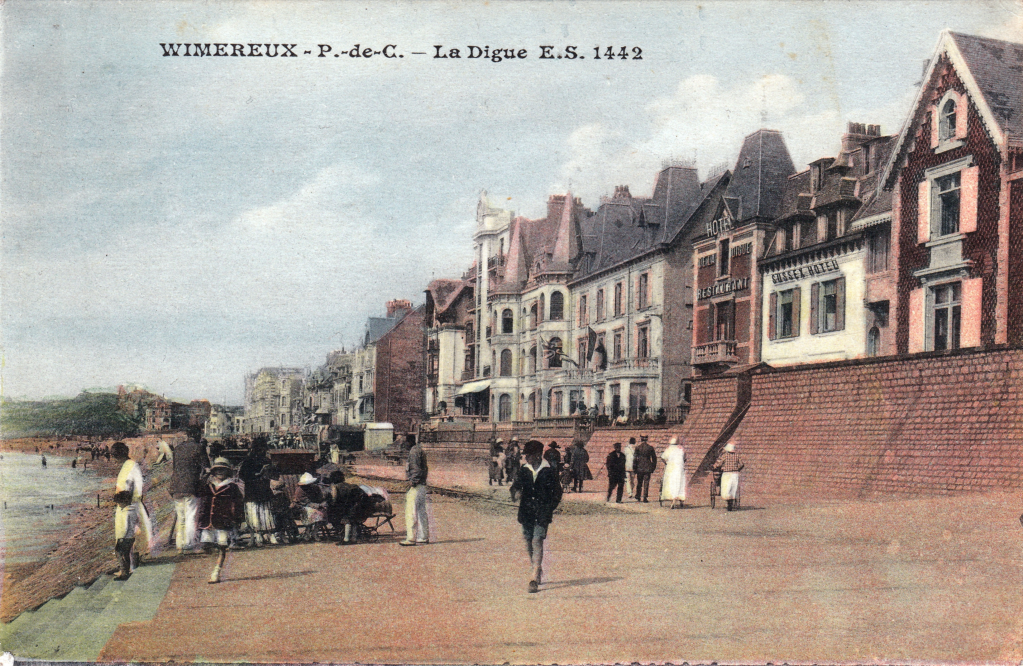
Français : Wimereux (France - département du Pas-de-Calais) — La Digue en direction du Nord et du Wimereux. Sont visibles les villas Charles-Marie devenue par la suite villa Saint Bernard (à deux tourelles) ; à sa droite, Sainte Thérèse suivie de Saint Augustin ; la dernier à droite étant la villa Neptune* détruite dans les années 1970 semble t-il et "remplacée" par un immeuble de l'époque. |
| Date | circa 1920 |
| Source | Collection personnelle |
| Author | Sevenard, édit. –Boulogne sur Mer |
| Camera location | | View this and other nearby images on: OpenStreetMap |
|---|
Licensing
edit
|
This work is in the public domain in its country of origin and other countries and areas where the copyright term is the author's life plus 70 years or fewer. This work is in the public domain in the United States because it was published (or registered with the U.S. Copyright Office) before January 1, 1929. | |
| This file has been identified as being free of known restrictions under copyright law, including all related and neighboring rights. | |
File history
Click on a date/time to view the file as it appeared at that time.
| Date/Time | Thumbnail | Dimensions | User | Comment | |
|---|---|---|---|---|---|
| current | 20:30, 30 January 2021 | | 3,283 × 2,137 (4.29 MB) | Jpcuvelier (talk | contribs) | Uploaded a work by Sevenard, édit. –Boulogne sur Mer from Collection personnelle with UploadWizard |
You cannot overwrite this file.
File usage on Commons
There are no pages that use this file.