File:Winzerpark, Brunn am Gebirge (2021) Kugelpanorama 360 Grad.jpg

Size of this preview: 800 × 400 pixels. Other resolutions: 320 × 160 pixels | 640 × 320 pixels | 1,024 × 512 pixels | 1,280 × 640 pixels | 2,560 × 1,280 pixels | 6,720 × 3,360 pixels.
Original file (6,720 × 3,360 pixels, file size: 14.2 MB, MIME type: image/jpeg)
Captions
Captions
Add a one-line explanation of what this file represents
Summary
edit_Kugelpanorama_360_Grad.jpg&action=edit§ion=1)
| Description |
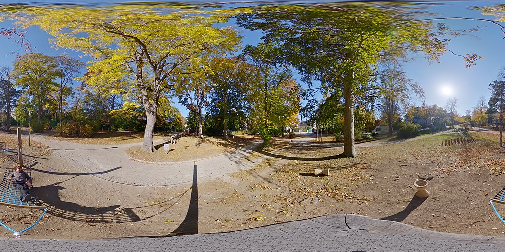
Deutsch: Der Winzerpark in der Jubiläumstraße 7 in 2345 Brunn am Gebirge im Herbst 2021. Photographiert am 24.10.2021 mit der Ricoh Theta Z 360° Kamera als Kugelpanorama (360 Grad) |
| Date | |
| Source | Own work |
| Author | Auguste von Herzberg |
| Camera location | | View this and other nearby images on: OpenStreetMap |
|---|
_Kugelpanorama_360_Grad.jpg¶ms=048.104792_N_0016.283122_E_globe:Earth_type:camera__&language=en)
Licensing
edit_Kugelpanorama_360_Grad.jpg&action=edit§ion=2)
This file is licensed under the Creative Commons Attribution 2.5 Generic license.
- You are free:
- to share – to copy, distribute and transmit the work
- to remix – to adapt the work
- Under the following conditions:
- attribution – You must give appropriate credit, provide a link to the license, and indicate if changes were made. You may do so in any reasonable manner, but not in any way that suggests the licensor endorses you or your use.
File history
Click on a date/time to view the file as it appeared at that time.
| Date/Time | Thumbnail | Dimensions | User | Comment | |
|---|---|---|---|---|---|
| current | 09:50, 25 October 2021 | | 6,720 × 3,360 (14.2 MB) | DrTrumpet (talk | contribs) | Uploaded a work by Auguste von Herzberg from Eigenes Werk with UploadWizard |
You cannot overwrite this file.
File usage on Commons
There are no pages that use this file.
_Kugelpanorama_360_Grad.jpg&oldid=855195030)