File:Wohnhaus in Wendelstein (D-5-76-151-49) 01.jpg

Size of this preview: 800 × 397 pixels. Other resolutions: 320 × 159 pixels | 640 × 318 pixels | 1,024 × 508 pixels | 1,280 × 636 pixels | 2,560 × 1,271 pixels | 8,711 × 4,325 pixels.
Original file (8,711 × 4,325 pixels, file size: 5.35 MB, MIME type: image/jpeg)
Captions
Captions
Add a one-line explanation of what this file represents
Summary edit
_01.jpg&action=edit§ion=1)
| Description |
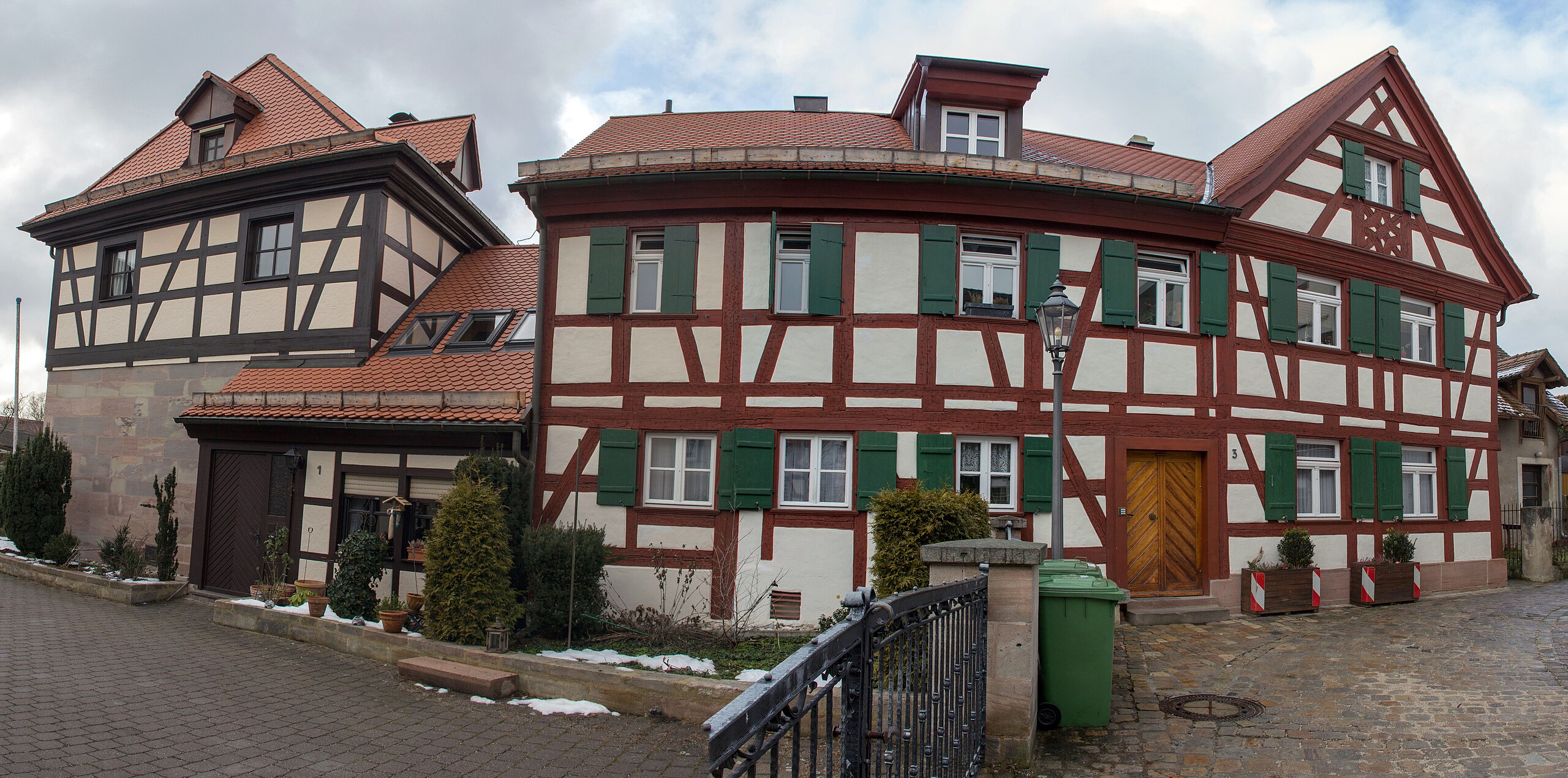
Deutsch: Wohnhaus in Wendelstein |
| Source | Own work |
| Author | Derzno |
| Camera location | | View this and other nearby images on: OpenStreetMap |
|---|
_01.jpg¶ms=049.356097_N_0011.143607_E_globe:Earth_type:camera_alt:348.75125_source:exif_&language=en)
Licensing edit
_01.jpg&action=edit§ion=2)
I, the copyright holder of this work, hereby publish it under the following license:
This file is licensed under the Creative Commons Attribution 3.0 Unported license.
- You are free:
- to share – to copy, distribute and transmit the work
- to remix – to adapt the work
- Under the following conditions:
- attribution – You must give appropriate credit, provide a link to the license, and indicate if changes were made. You may do so in any reasonable manner, but not in any way that suggests the licensor endorses you or your use.
File history
Click on a date/time to view the file as it appeared at that time.
| Date/Time | Thumbnail | Dimensions | User | Comment | |
|---|---|---|---|---|---|
| current | 18:58, 27 February 2013 | | 8,711 × 4,325 (5.35 MB) | Derzno (talk | contribs) | {{Information |Description ={{de|1=Wohnhaus in Wendelstein}} |Source ={{own}} |Author =Derzno |Date = |Permission = |other_versions = }} {{GPS EXIF}} Category:Wohnhaus in Wendelstein (D-5-76-151-49) |
You cannot overwrite this file.
File usage on Commons
The following page uses this file:
File usage on other wikis
The following other wikis use this file:
- Usage on de.wikipedia.org
- Usage on www.wikidata.org
_01.jpg&oldid=733323260)