File:Wojnicz (gmina) location map.png
Original file (1,658 × 2,406 pixels, file size: 594 KB, MIME type: image/png)
Captions
Captions
Summary edit
_location_map.png&action=edit§ion=1)
| Description |
English: Location map |
| Date | |
| Source | Own work |
| Author | Smat |
| Description |
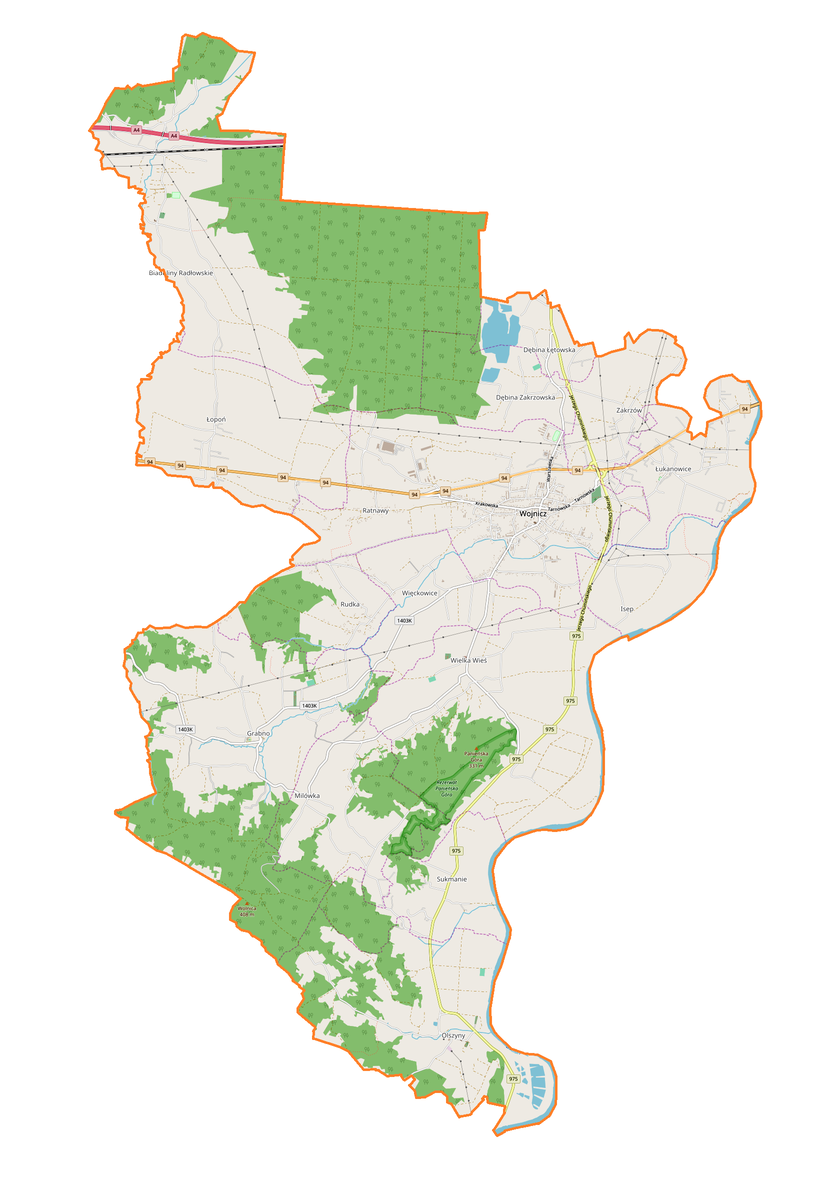
Polski: Mapa gminy Wojnicz, Polska
English: Map of Wojnicz (gmina), Poland |
|||||||||
| Date | ||||||||||
| Source | You may find a page on the OpenStreetMap wiki page for Wojnicz (gmina) | |||||||||
| Creator |
OpenStreetMap contributors OpenStreetMap contributors |
|||||||||
| Permission (Reusing this file) |
OpenStreetMap data is available under the Open Database License (details). Map tiles are licensed under the Creative Commons Attribution-ShareAlike 2.0 license (CC-BY-SA 2.0).
This file is licensed under the Creative Commons Attribution-Share Alike 2.0 Generic license.
|
|||||||||
| Geotemporal data | ||||||||||
| Bounding box |
|
|||||||||
| Georeferencing | If inappropriate please set warp_status = skip to hide. | |||||||||
Licensing edit
_location_map.png&action=edit§ion=2)
| This work contains information from OpenStreetMap, which is made available under the Open Database License (ODbL).
The ODbL does not require any particular license for maps produced from ODbL data. Prior to 1 August 2020, map tiles produced by the OpenStreetMap Foundation were licensed under the CC-BY-SA-2.0 license. Maps produced by other people may be subject to other licences. |
File history
Click on a date/time to view the file as it appeared at that time.
| Date/Time | Thumbnail | Dimensions | User | Comment | |
|---|---|---|---|---|---|
| current | 09:07, 19 May 2018 | | 1,658 × 2,406 (594 KB) | Smat (talk | contribs) | User created page with UploadWizard |
You cannot overwrite this file.
File usage on Commons
There are no pages that use this file.
File usage on other wikis
The following other wikis use this file:
- Usage on pl.wikipedia.org
- Wojnicz
- Bitwa pod Wojniczem
- Biadoliny Radłowskie
- Dębina Łętowska
- Dębina Zakrzowska
- Isep (województwo małopolskie)
- Łopoń
- Łukanowice
- Sukmanie
- Grabno (województwo małopolskie)
- Milówka (województwo małopolskie)
- Wielka Wieś (powiat tarnowski)
- Więckowice (powiat tarnowski)
- Zakrzów (powiat tarnowski)
- Olszyny (gmina Wojnicz)
- Rudka (gmina Wojnicz)
- Ratnawy (Łopoń)
- Zamoście (Wojnicz)
- Zamek Trzewlin
- Parafia św. Wawrzyńca w Wojniczu
- Cmentarz wojenny nr 282 – Wojnicz-Zamoście
- Cmentarz wojenny nr 285 – Wojnicz
- Cmentarz wojenny nr 216 – Sierakowice
- Cmentarz wojenny nr 284 – Zakrzów
- Cmentarz wojenny nr 286 – Olszyny
- Kościół św. Wawrzyńca w Wojniczu
- Parafia Najświętszego Serca Jezusowego w Biadolinach Radłowskich
- Parafia Niepokalanego Serca Najświętszej Maryi Panny w Grabnie
- Parafia Imienia Najświętszej Maryi Panny w Olszynach
- Parafia Podwyższenia Krzyża Świętego w Wielkiej Wsi
- Rezerwat przyrody Panieńska Góra
- Pałac Dąmbskich w Wojniczu
- Kościół św. Leonarda w Wojniczu
- Moduł:Mapa/dane/Wojnicz (gmina)
- Moduł:Mapa/dane/Wojnicz
- Dwór w Wielkiej Wsi
- Ratnawy (Wojnicz)
- Usage on pl.wikibooks.org
_location_map.png&oldid=706042825)