File:Worcester and Birmingham Canal - panoramio.jpg

Size of this preview: 800 × 600 pixels. Other resolutions: 320 × 240 pixels | 640 × 480 pixels | 1,024 × 768 pixels.
Original file (1,024 × 768 pixels, file size: 144 KB, MIME type: image/jpeg)
Captions
Captions
Add a one-line explanation of what this file represents
Summary edit
| Description |
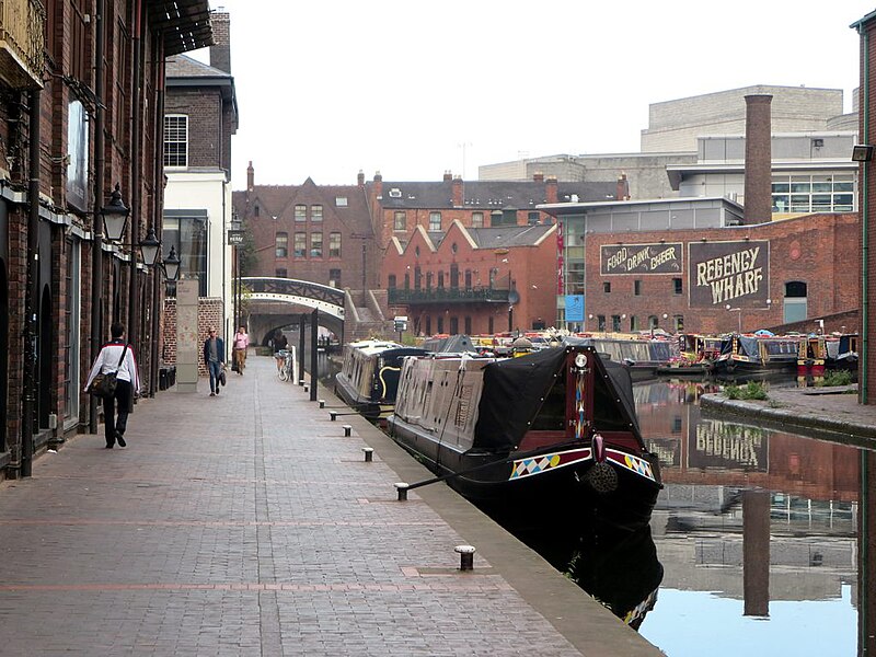
Worcester and Birmingham Canal The Worcester and Birmingham Canal stretches 47 kilometers from the River Severn in Worchester to Gas Street Basin at Birmingham, England. |
||
| Date | (original upload date) | ||
| Source | https://web.archive.org/web/20161103084128/http://www.panoramio.com/photo/133818088 | ||
| Author | David Stanley | ||
| Permission (Reusing this file) |
This file is licensed under the Creative Commons Attribution 3.0 Unported license. Attribution: David Stanley
|
| Camera location | | View this and other nearby images on: OpenStreetMap |
|---|
File history
Click on a date/time to view the file as it appeared at that time.
| Date/Time | Thumbnail | Dimensions | User | Comment | |
|---|---|---|---|---|---|
| current | 00:25, 20 October 2016 | | 1,024 × 768 (144 KB) | Panoramio upload bot (talk | contribs) | {{Information |description=Worcester and Birmingham Canal <p>The Worcester and Birmingham Canal stretches 47 kilometers from the River Severn in Worchester to Gas Street Basin at Birmingham, England.</p> |date={{Original upload date|2016}} |source=htt... |
You cannot overwrite this file.
File usage on Commons
The following page uses this file:
- File:Worcester and Birmingham Canal (29348281533).jpg (file redirect)
.jpg&redirect=no)