File:Wroclaw-1587-frag.jpg
Size of this preview: 667 × 599 pixels. Other resolutions: 267 × 240 pixels | 534 × 480 pixels | 878 × 789 pixels.
Original file (878 × 789 pixels, file size: 548 KB, MIME type: image/jpeg)
Captions
Captions
Add a one-line explanation of what this file represents
| Description |
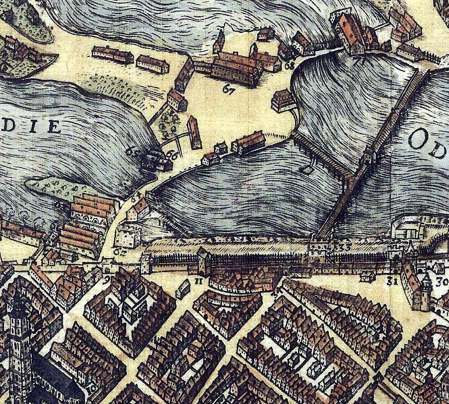
Polski: północne okolice Wrocławia wzdłuż Odry Obiekty oznaczone na mapie liczbami: w lewym dolnym narożniku mapy
wzdłuż muru, od lewej
na północ od muru
|
||||
| Date | |||||
| Source | city archive | ||||
| Author | F.H.Vroom, F.Gross | ||||
| Permission (Reusing this file) |
|
||||
File history
Click on a date/time to view the file as it appeared at that time.
| Date/Time | Thumbnail | Dimensions | User | Comment | |
|---|---|---|---|---|---|
| current | 00:23, 16 September 2008 | | 878 × 789 (548 KB) | Julo (talk | contribs) | {{Information |Description={{pl|1=północne okolice Wrocławia wzdłuż Odry}} |Source=city archive |Author=F.H.Vroom, F.Gross |Date=1587 |Permission={{PD-old}} |other_versions= }} <!--{{ImageUpload|full}}--> Category:Maps of Wrocław |
You cannot overwrite this file.
File usage on Commons
There are no pages that use this file.
File usage on other wikis
The following other wikis use this file:
- Usage on pl.wikipedia.org