File:Wyszki (gmina) location map.png

Size of this preview: 694 × 600 pixels. Other resolutions: 278 × 240 pixels | 555 × 480 pixels | 889 × 768 pixels | 1,143 × 988 pixels.
Original file (1,143 × 988 pixels, file size: 227 KB, MIME type: image/png)
Captions
Captions
Add a one-line explanation of what this file represents
| Description |
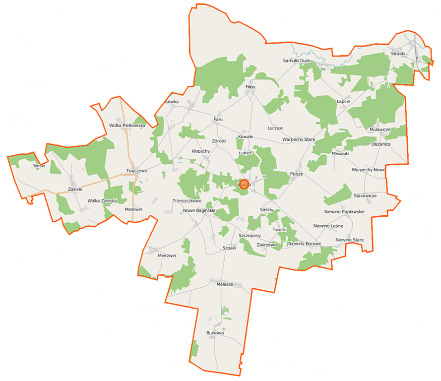
Polski: Mapa gminy Wyszki, Polska
English: Map of Gmina Wyszki, Poland |
|||||||||
| Date | ||||||||||
| Source | You may find a page on the OpenStreetMap wiki page for Wyszki (gmina) | |||||||||
| Creator |
OpenStreetMap contributors OpenStreetMap contributors |
|||||||||
| Permission (Reusing this file) |
OpenStreetMap data is available under the Open Database License (details). Map tiles are licensed under the Creative Commons Attribution-ShareAlike 2.0 license (CC-BY-SA 2.0).
This file is licensed under the Creative Commons Attribution-Share Alike 2.0 Generic license.
|
|||||||||
| Geotemporal data | ||||||||||
| Bounding box |
|
|||||||||
| Georeferencing | If inappropriate please set warp_status = skip to hide. | |||||||||
File history
Click on a date/time to view the file as it appeared at that time.
| Date/Time | Thumbnail | Dimensions | User | Comment | |
|---|---|---|---|---|---|
| current | 09:35, 16 September 2014 | | 1,143 × 988 (227 KB) | VanWiel (talk | contribs) | {{Information |Description= |Source= |Date= |Author= |Permission= |other_versions= }} |
| 05:45, 9 June 2014 |  | 1,143 × 988 (262 KB) | VanWiel (talk | contribs) | {{OpenStreetMap | name = Wyszki (gmina) | location = Wyszki (gmina) | description = {{pl|Mapa gminy Wyszki, Polska}} {{en|Map of Gmina Wyszki, Poland}} | top = 52.9288 | left = 22.7870 | right... |
You cannot overwrite this file.
File usage on Commons
There are no pages that use this file.
File usage on other wikis
The following other wikis use this file:
- Usage on lt.wikipedia.org
- Usage on pl.wikipedia.org
- Wyszki (gmina)
- Samułki Duże
- Budlewo
- Bujnowo
- Gawiny
- Godzieby
- Łapcie (województwo podlaskie)
- Łuczaje
- Malesze
- Mierzwin Duży
- Mierzwin Mały
- Mieszuki
- Moskwin
- Mulawicze
- Niewino Borowe
- Niewino Kamieńskie
- Niewino Leśne
- Niewino Popławskie
- Nowe Bagińskie
- Pulsze (wieś w województwie podlaskim)
- Samułki Małe
- Szczepany (województwo podlaskie)
- Szpaki (województwo podlaskie)
- Stacewicze
- Strabla
- Topczewo
- Trzeszczkowo
- Wodźki
- Wólka Pietkowska
- Falki (województwo podlaskie)
- Filipy (województwo podlaskie)
- Kalinówka (powiat bielski)
- Kożuszki (województwo podlaskie)
- Olszanica (województwo podlaskie)
- Pierzchały (województwo podlaskie)
- Tworki (województwo podlaskie)
- Wólka Zaleska (województwo podlaskie)
- Wyszki (województwo podlaskie)
- Bogusze (powiat bielski)
- Górskie (powiat bielski)
- Ignatki (powiat bielski)
- Kowale (powiat bielski)
- Osówka (powiat bielski)
- Sieśki (powiat bielski)
- Wypychy (powiat bielski)
- Zakrzewo (powiat bielski)
- Zalesie (powiat bielski)
- Sasiny (gmina Wyszki)
- Stare Bagińskie
View more global usage of this file.
_location_map.png)
_location_map.png&oldid=505068314)