File:X02.26 Hvar, Sveta Nedjelja.jpg
Size of this preview: 800 × 530 pixels. Other resolutions: 320 × 212 pixels | 640 × 424 pixels | 1,024 × 679 pixels | 1,280 × 848 pixels | 2,560 × 1,697 pixels | 5,606 × 3,716 pixels.
Original file (5,606 × 3,716 pixels, file size: 8.19 MB, MIME type: image/jpeg)
Captions
Captions
Add a one-line explanation of what this file represents
Summary
edit
| Description |
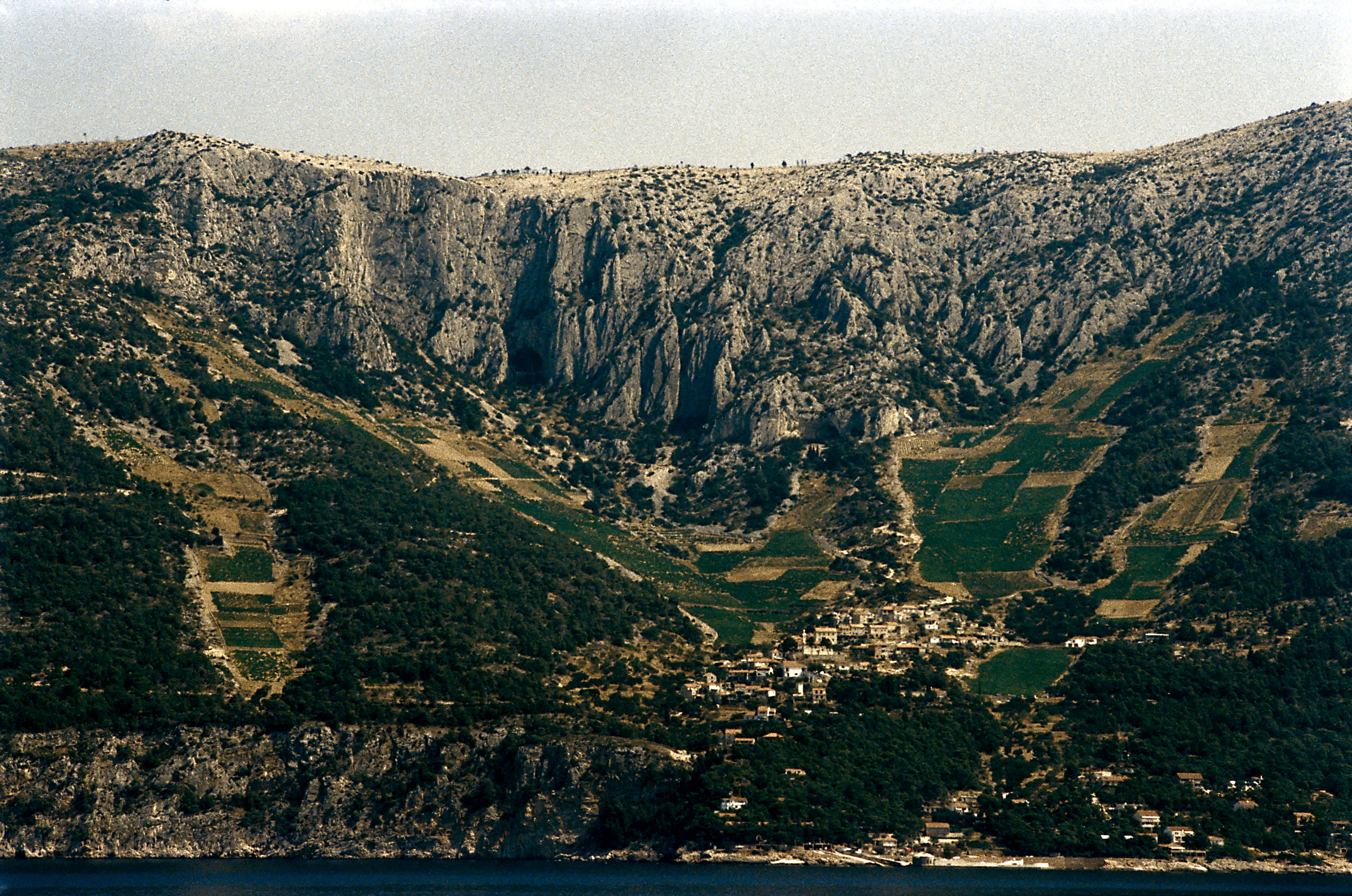
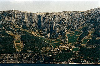
Deutsch: Von See auf Fahrt zwischen Stari Grad und Korčula an backbord Richtung Norden; die Straße, die die Ortschaften auf der Südseite von Hvar verbindet, endet noch immer hier. Die Weiterführung Richtung Dubovica durch ausgesprochen schwieriges Gelände ist zum Aufnahmezeitpunkt noch nicht in Arbeit. |
| Date | |
| Source | Own work |
| Author | Falk2 |
Licensing
edit
This file is licensed under the Creative Commons Attribution-Share Alike 4.0 International license.
- You are free:
- to share – to copy, distribute and transmit the work
- to remix – to adapt the work
- Under the following conditions:
- attribution – You must give appropriate credit, provide a link to the license, and indicate if changes were made. You may do so in any reasonable manner, but not in any way that suggests the licensor endorses you or your use.
- share alike – If you remix, transform, or build upon the material, you must distribute your contributions under the same or compatible license as the original.
File history
Click on a date/time to view the file as it appeared at that time.
| Date/Time | Thumbnail | Dimensions | User | Comment | |
|---|---|---|---|---|---|
| current | 17:04, 23 December 2022 | | 5,606 × 3,716 (8.19 MB) | Falk2 (talk | contribs) | {{Information |Beschreibung=Von See auf Fahrt zwischen Stari Grad und Korčula an backbord Richtung Norden; die Straße, die die Ortschaften auf der Südseite von Hvar verbindet, endet noch immer hier. Die Weiterführung Richtung Dubovica durch ausgesprochen schwieriges Gelände ist zum Aufnahmezeitpunkt noch nicht in Arbeit. |Quelle=eigenes Werk |Urheber=Falk2 |Datum=2006-07-25 |Genehmigung= |Andere Versionen= |Anmerkungen= }} == Lizenz == {{Bild-CC-by-sa/4.0}} {{commonsfähig}} <no… |
You cannot overwrite this file.
File usage on Commons
There are no pages that use this file.