File:Xicheng.png
No higher resolution available.
Xicheng.png (500 × 493 pixels, file size: 4 KB, MIME type: image/png)
Captions
Captions
Add a one-line explanation of what this file represents
| Description |
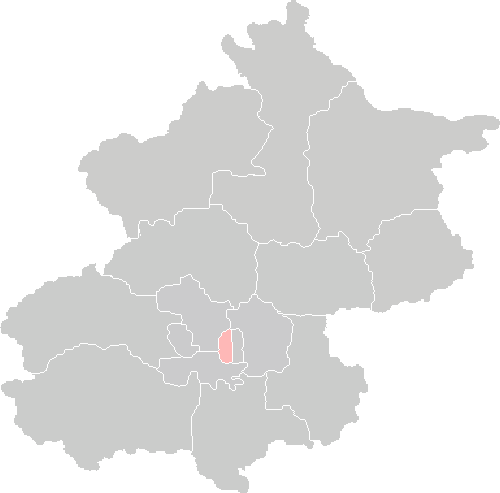
English: Location map of Xicheng District |
| Date | |
| Source | Own work |
| Author | ASDFGHJ (talk) |
| Permission (Reusing this file) |
This file is licensed under the Creative Commons Attribution-Share Alike 2.0 Generic license.
|
File history
Click on a date/time to view the file as it appeared at that time.
| Date/Time | Thumbnail | Dimensions | User | Comment | |
|---|---|---|---|---|---|
| current | 01:28, 4 November 2015 | | 500 × 493 (4 KB) | EEIM (talk | contribs) | mejoras |
| 15:38, 13 July 2010 |  | 500 × 493 (7 KB) | ASDFGHJ (talk | contribs) | new update on Chongwen and Xuanwu merge | |
| 08:32, 31 January 2009 |  | 500 × 493 (9 KB) | ASDFGHJ (talk | contribs) | {{Information |Description= Location map of Xicheng District |Source=self-made |Date=2009-01-31 |Author=ASDFGHJ (talk) |permission={{cc-by-sa-2.0}} |other_versions= }} Category:Maps of Beijing <!--{{Imag |
You cannot overwrite this file.
File usage on Commons
There are no pages that use this file.
File usage on other wikis
The following other wikis use this file:
- Usage on cdo.wikipedia.org
- Usage on cs.wikipedia.org
- Usage on de.wikipedia.org
- Usage on en.wikipedia.org
- Usage on es.wikipedia.org
- Usage on fa.wikipedia.org
- Usage on he.wikipedia.org
- Usage on he.wikivoyage.org
- Usage on id.wikipedia.org
- Usage on it.wikipedia.org
- Usage on ja.wikipedia.org
- Usage on ko.wikipedia.org
- Usage on lt.wikipedia.org
- Usage on mk.wikipedia.org
- Usage on my.wikipedia.org
- Usage on no.wikipedia.org
- Usage on pl.wikipedia.org
- Usage on pt.wikipedia.org
- Usage on sco.wikipedia.org
- Usage on sv.wikipedia.org
- Usage on tr.wikipedia.org
- Usage on ur.wikipedia.org
- Usage on vi.wikipedia.org
- Usage on zh-classical.wikipedia.org
- Usage on zh-yue.wikipedia.org
- Usage on zh.wikipedia.org