File:Yadkin River Elkin.jpg

Size of this preview: 800 × 536 pixels. Other resolutions: 320 × 214 pixels | 640 × 429 pixels | 1,024 × 686 pixels | 1,280 × 858 pixels | 2,314 × 1,551 pixels.
Original file (2,314 × 1,551 pixels, file size: 2.38 MB, MIME type: image/jpeg)
Captions
Captions
Add a one-line explanation of what this file represents
Summary edit
| Description | |
| Date | |
| Source | http://water.weather.gov/ahps2/hydrograph.php?wfo=rnk&gage=elkn7 (file is http://water.weather.gov/ahps2/images/hydrograph_photos/elkn7/dsc01352.jpg ) |
| Author | United States National Weather Service |
| Other versions | cropped from http://water.weather.gov/ahps2/images/hydrograph_photos/elkn7/dsc01352.jpg |
| Camera location | | View this and other nearby images on: OpenStreetMap |
|---|
Licensing edit
This image is in the public domain because it was stored on the web servers of the U.S. National Weather Service. NWS-created images are automatically public domain in the U.S. since the NWS is a part of the U.S. government. However, the NWS sites also host non-NWS images which have been submitted by individuals: these are generally shown as "Courtesy of ...". Such images have explicitly been released to the public domain by the copyright owner as part of the upload process.
As stated at https://www.weather.gov/fsd/disclaimer: "By submitting images, you understand that your image is being released into the public domain. This means that your photo or video may be downloaded, copied, and used by others." Thus, all* images on NWS servers are public domain (including "Courtesy of ..." and “Photo by ...” images) unless specifically stated otherwise through a copyright (©) watermark.
*A deletion discussion in November 2023 ruled that Getty Images on the web servers of NWS, are to be considered copyrighted, even without a copyright (©) watermark and are the sole exception to this rule.
|
File history
Click on a date/time to view the file as it appeared at that time.
| Date/Time | Thumbnail | Dimensions | User | Comment | |
|---|---|---|---|---|---|
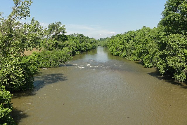
| current | 00:18, 3 May 2013 | | 2,314 × 1,551 (2.38 MB) | TimK MSI (talk | contribs) | {{Information |Description ={{en|1=The w:Yadkin River as viewed upstream from w:U.S. Route 21 in w:Elkin, North Carolina}} |Source =http://water.weather.gov/ahps2/hydrograph.php?wfo=rnk&gage=elkn7 |Author =United States N... |
You cannot overwrite this file.
File usage on Commons
There are no pages that use this file.
File usage on other wikis
The following other wikis use this file:
- Usage on en.wikipedia.org
- Usage on ko.wikipedia.org
- Usage on simple.wikipedia.org