File:Yanaha Island, Izena.jpg

Size of this preview: 670 × 600 pixels. Other resolutions: 268 × 240 pixels | 536 × 480 pixels | 858 × 768 pixels | 1,144 × 1,024 pixels | 2,288 × 2,048 pixels | 2,665 × 2,385 pixels.
Original file (2,665 × 2,385 pixels, file size: 668 KB, MIME type: image/jpeg)
Captions
Captions
Add a one-line explanation of what this file represents
Summary edit
| Description |
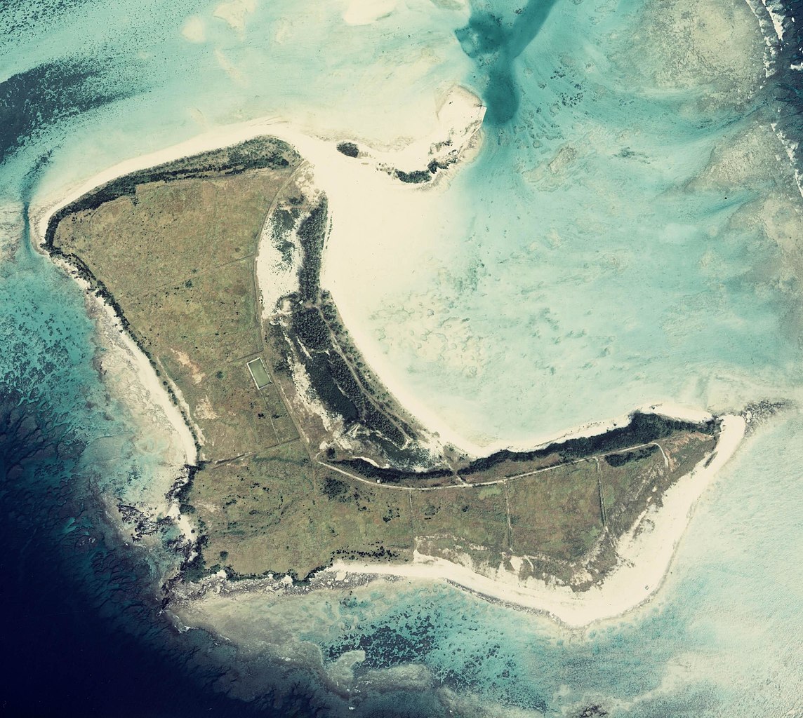
English: Yanaha Island, Izena, Okinawa, Japan.
|
| Date | |
| Source | Japanese Ministry of Land, Infrastructure, Transport and Tourism[1] |
| Author | Retouched by Kugel |
Licensing edit

|
The copyright holder of this file, the Ministry of Land, Infrastructure, Transport and Tourism of Japan, allows anyone to use it for any purpose, provided that the copyright holder is properly attributed. Redistribution, derivative work, commercial use, and all other use is permitted. |
Attribution:
Copyright © National Land Image Information (Color Aerial Photographs), Ministry of Land, Infrastructure, Transport and Tourism
|
 |
This image is copyrighted by the Ministry of Land, Infrastructure, Transport and Tourism of Japan. For terms of use, see the stipulation to use of National Land Information (in Japanese) and message from MLIT (in Japanese and English). When you display this image on an article, include the following phrase in the description: "Made based on National Land Image Information (Color Aerial Photographs), Ministry of Land, Infrastructure, Transport and Tourism".
|
File history
Click on a date/time to view the file as it appeared at that time.
| Date/Time | Thumbnail | Dimensions | User | Comment | |
|---|---|---|---|---|---|
| current | 10:26, 28 August 2010 | | 2,665 × 2,385 (668 KB) | Kugel~commonswiki (talk | contribs) | {{Information |Description={{en|1=Yanaha Island, Izena, Okinawa, Japan.}} {{ja|1=屋那覇島(沖縄県伊是名村)}} |Source=Japanese Ministry of Land, Infrastructure, Transport and Tourism[http://w3land.mlit.go.jp/cgi-bin/WebGIS2/WC_AirPhoto.cgi?IT |
You cannot overwrite this file.
File usage on Commons
There are no pages that use this file.
File usage on other wikis
The following other wikis use this file:
- Usage on cs.wikipedia.org
- Usage on de.wikipedia.org