File:Yard near Hierasimienki street in Miensk = Двор непадалёк ад вуліцы Герасіменкі - panoramio - Andrej Kuźniečyk.jpg
Size of this preview: 800 × 600 pixels. Other resolutions: 320 × 240 pixels | 640 × 480 pixels | 1,024 × 768 pixels | 1,200 × 900 pixels.
Original file (1,200 × 900 pixels, file size: 543 KB, MIME type: image/jpeg)
Captions
Captions
Add a one-line explanation of what this file represents
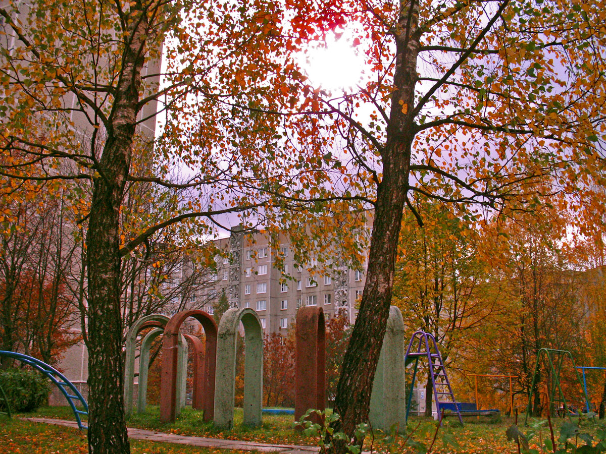
| Description | Yard near Hierasimienki street in Miensk = Двор непадалёк ад вуліцы Герасіменкі | ||
| Date | 14 October 2008 (original upload date) | ||
| Source | https://web.archive.org/web/20161012102622/http://www.panoramio.com/photo/14997401 | ||
| Author | Andrej Kuźniečyk | ||
| Permission (Reusing this file) |
This file is licensed under the Creative Commons Attribution-Share Alike 3.0 Unported license. Attribution: Andrej Kuźniečyk
|
| Camera location | | View this and other nearby images on: OpenStreetMap |
|---|

|
The categories of this image need checking. You can do so here.
|
File history
Click on a date/time to view the file as it appeared at that time.
| Date/Time | Thumbnail | Dimensions | User | Comment | |
|---|---|---|---|---|---|
| current | 02:19, 5 August 2016 | | 1,200 × 900 (543 KB) | Panoramio upload bot (talk | contribs) | {{Information |description=Yard near Hierasimienki street in Miensk = Двор непадалёк ад вуліцы Герасіменкі |date={{Original upload date|2008-10-14}} |source=http://www.panoramio.com/photo/14997401 |author=[http://www.pan... |
You cannot overwrite this file.
File usage on Commons
There are no pages that use this file.