File:Yashkulsky District Road Construction.jpg

Size of this preview: 800 × 600 pixels. Other resolutions: 320 × 240 pixels | 640 × 480 pixels | 1,024 × 768 pixels | 1,280 × 960 pixels | 2,592 × 1,944 pixels.
Original file (2,592 × 1,944 pixels, file size: 1.33 MB, MIME type: image/jpeg)
Captions
Captions
Add a one-line explanation of what this file represents
Summary edit
| Description |
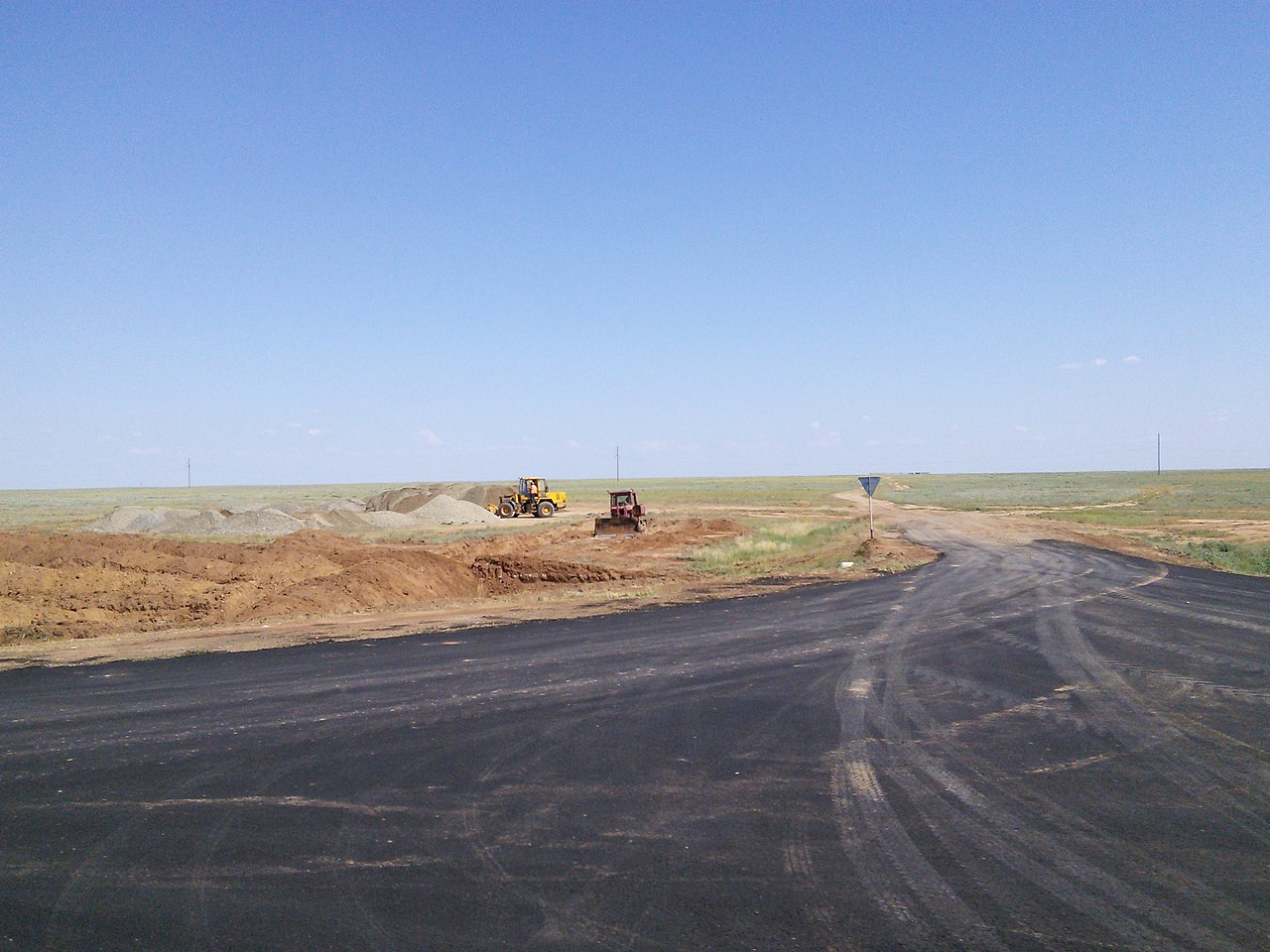
English: Road Construction in Yashkulsky District, Kalmykia, Russia |
| Date | |
| Source | Panoramio Contribution |
| Author | Panoramio Contributor Svetlov Artem |
| Camera location | | View this and other nearby images on: OpenStreetMap |
|---|
| This image was originally posted to Panoramio by Svetlov Artem at https://www.panoramio.com/photo/125173215. It was reviewed on 12 November 2016 by the Panoramio Review Bot robot and was confirmed to be licensed under the terms of the cc-by-3.0. |
Licensing edit
This file is licensed under the Creative Commons Attribution 3.0 Unported license.
- You are free:
- to share – to copy, distribute and transmit the work
- to remix – to adapt the work
- Under the following conditions:
- attribution – You must give appropriate credit, provide a link to the license, and indicate if changes were made. You may do so in any reasonable manner, but not in any way that suggests the licensor endorses you or your use.
File history
Click on a date/time to view the file as it appeared at that time.
| Date/Time | Thumbnail | Dimensions | User | Comment | |
|---|---|---|---|---|---|
| current | 07:41, 12 November 2016 | | 2,592 × 1,944 (1.33 MB) | Panoramio Review Bot (talk | contribs) | Replacing image by its original image from Panoramio |
| 07:27, 12 November 2016 |  | 1,024 × 768 (64 KB) | Every-leaf-that-trembles (talk | contribs) | User created page with UploadWizard |
You cannot overwrite this file.
File usage on Commons
The following page uses this file:
File usage on other wikis
The following other wikis use this file:
- Usage on be.wikipedia.org
- Usage on ceb.wikipedia.org
- Usage on ce.wikipedia.org
- Usage on en.wikipedia.org
- Usage on fa.wikipedia.org
- Usage on fi.wikipedia.org
- Usage on hu.wikipedia.org
- Usage on hy.wikipedia.org
- Usage on ru.wikipedia.org
- Usage on www.wikidata.org
- Usage on zh-min-nan.wikipedia.org
- Usage on zh.wikipedia.org