File:ZCZWiFP okręg podolski map.svg

Size of this PNG preview of this SVG file: 489 × 600 pixels. Other resolutions: 196 × 240 pixels | 391 × 480 pixels | 626 × 768 pixels | 835 × 1,024 pixels | 1,669 × 2,048 pixels | 750 × 920 pixels.
Original file (SVG file, nominally 750 × 920 pixels, file size: 20 KB)
Captions
Captions
Add a one-line explanation of what this file represents
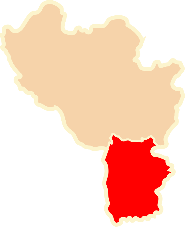
| Description | Okręg Podolski na mapie Zarządu Cywilnego Ziem Wołynia i Frontu Podolskiego (1920) |
| Date | 9 October 2010 (upload date) |
| Source | własna praca na podstawie "E. Romer, Polska mapa administracyjna 1920, Lwów Warszawa 1921" |
| Author | Poznaniak |
| Permission (Reusing this file) |
I, the copyright holder of this work, hereby publish it under the following license: This file is licensed under the Creative Commons Attribution-Share Alike 3.0 Unported license.
|
File history
Click on a date/time to view the file as it appeared at that time.
| Date/Time | Thumbnail | Dimensions | User | Comment | |
|---|---|---|---|---|---|
| current | 18:27, 9 October 2010 | | 750 × 920 (20 KB) | Poznaniak (talk | contribs) | {{Information |Description=Okręg Podolski na mapie Zarządu Cywilnego Ziem Wołynia i Frontu Podolskiego (1920) |Source=własna praca na podstawie "E. Romer, Polska mapa administracyjna 1920, Lw� |
You cannot overwrite this file.
File usage on Commons
There are no pages that use this file.
File usage on other wikis
The following other wikis use this file:
- Usage on en.wikipedia.org
- Usage on pl.wikipedia.org
- Usage on uk.wikipedia.org