File:Zapaliaki village, Запалякі - panoramio.jpg
Size of this preview: 450 × 600 pixels. Other resolutions: 180 × 240 pixels | 600 × 800 pixels.
Original file (600 × 800 pixels, file size: 205 KB, MIME type: image/jpeg)
Captions
Captions
Add a one-line explanation of what this file represents
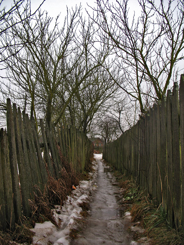
| Description | Zapaliaki village, Запалякі | ||
| Date | 26 January 2009 (original upload date) | ||
| Source | https://web.archive.org/web/20161013065418/http://www.panoramio.com/photo/18211370 | ||
| Author | Andrej Kuźniečyk | ||
| Permission (Reusing this file) |
This file is licensed under the Creative Commons Attribution-Share Alike 3.0 Unported license. Attribution: Andrej Kuźniečyk
|
| Camera location | | View this and other nearby images on: OpenStreetMap |
|---|
File history
Click on a date/time to view the file as it appeared at that time.
| Date/Time | Thumbnail | Dimensions | User | Comment | |
|---|---|---|---|---|---|
| current | 02:52, 13 October 2016 | | 600 × 800 (205 KB) | Panoramio upload bot (talk | contribs) | {{Information |description=Zapaliaki village, Запалякі |date={{Original upload date|2009-01-26}} |source=http://www.panoramio.com/photo/18211370 |author=[http://www.panoramio.com/user/416171?with_photo_id=18211370 Andrej Kuźniečyk] |permissio... |
You cannot overwrite this file.
File usage on Commons
There are no pages that use this file.