File:Zarasai, Lithuania - panoramio (33).jpg
Size of this preview: 799 × 279 pixels. Other resolutions: 320 × 112 pixels | 640 × 224 pixels | 1,024 × 358 pixels | 1,280 × 447 pixels | 4,816 × 1,682 pixels.
Original file (4,816 × 1,682 pixels, file size: 1.91 MB, MIME type: image/jpeg)
Captions
Captions
Add a one-line explanation of what this file represents
Summary
edit.jpg&action=edit§ion=1)
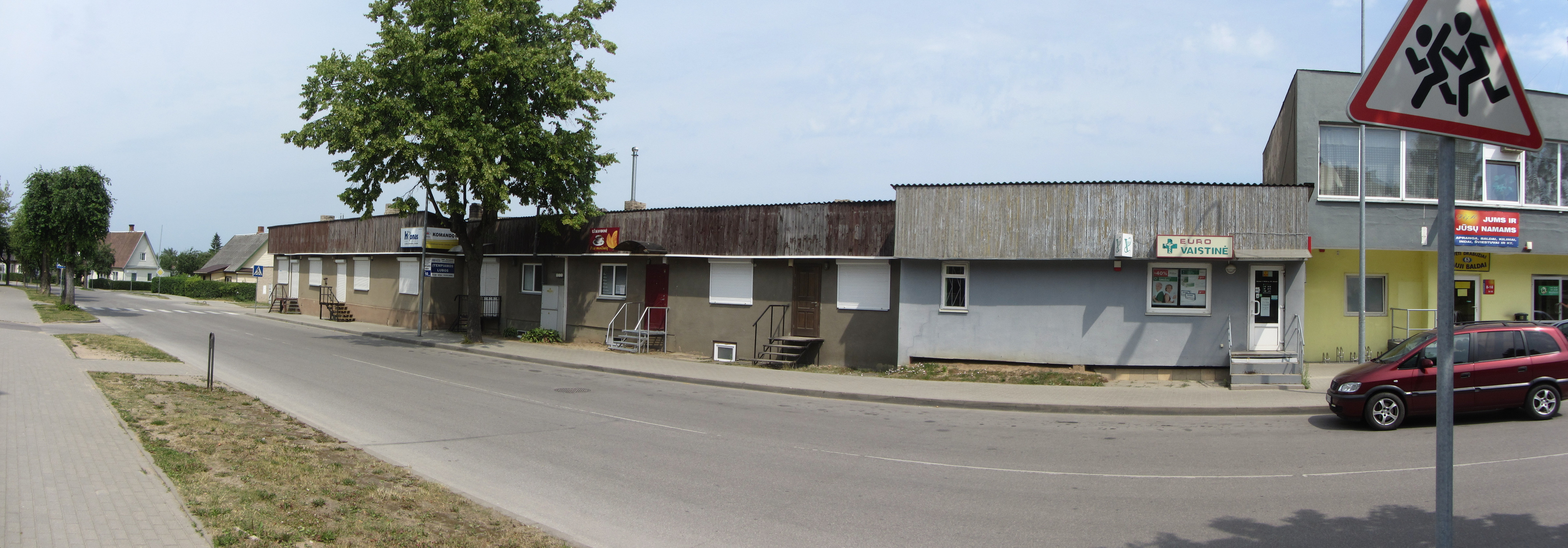
| Description | Zarasai, Lithuania | ||
| Date | Taken on 6 July 2015 | ||
| Source | https://web.archive.org/web/20161031194104/http://www.panoramio.com/photo/121442832 | ||
| Author | VietovesLt | ||
| Permission (Reusing this file) |
This file is licensed under the Creative Commons Attribution 3.0 Unported license. Attribution: VietovesLt
|
||
| Panoramio Tags | Zarasai, Panorama |
| Camera location | | View this and other nearby images on: OpenStreetMap |
|---|
.jpg¶ms=055.734605_N_0026.247793_E_globe:Earth_type:camera_source:Panoramio_&language=en)
File history
Click on a date/time to view the file as it appeared at that time.
| Date/Time | Thumbnail | Dimensions | User | Comment | |
|---|---|---|---|---|---|
| current | 17:37, 20 May 2017 | 4,816 × 1,682 (1.91 MB) | Panoramio upload bot (talk | contribs) | == {{int:filedesc}} == {{Information |description=Zarasai, Lithuania |date={{Taken on|2015-07-06}} |source=http://www.panoramio.com/photo/121442832 |author=[http://www.panoramio.com/user/8209965?with_photo_id=121442832 VietovesLt] |permission={{cc-by-3... |
You cannot overwrite this file.
File usage on Commons
There are no pages that use this file.
.jpg&oldid=726326342)