File:Zellergrundbach (versiegt).jpg
Size of this preview: 784 × 600 pixels. Other resolutions: 314 × 240 pixels | 628 × 480 pixels | 1,004 × 768 pixels | 1,280 × 979 pixels | 2,560 × 1,958 pixels | 3,036 × 2,322 pixels.
Original file (3,036 × 2,322 pixels, file size: 2.9 MB, MIME type: image/jpeg)
Captions
Captions
Add a one-line explanation of what this file represents
Summary
edit.jpg&action=edit§ion=1)
| Description |
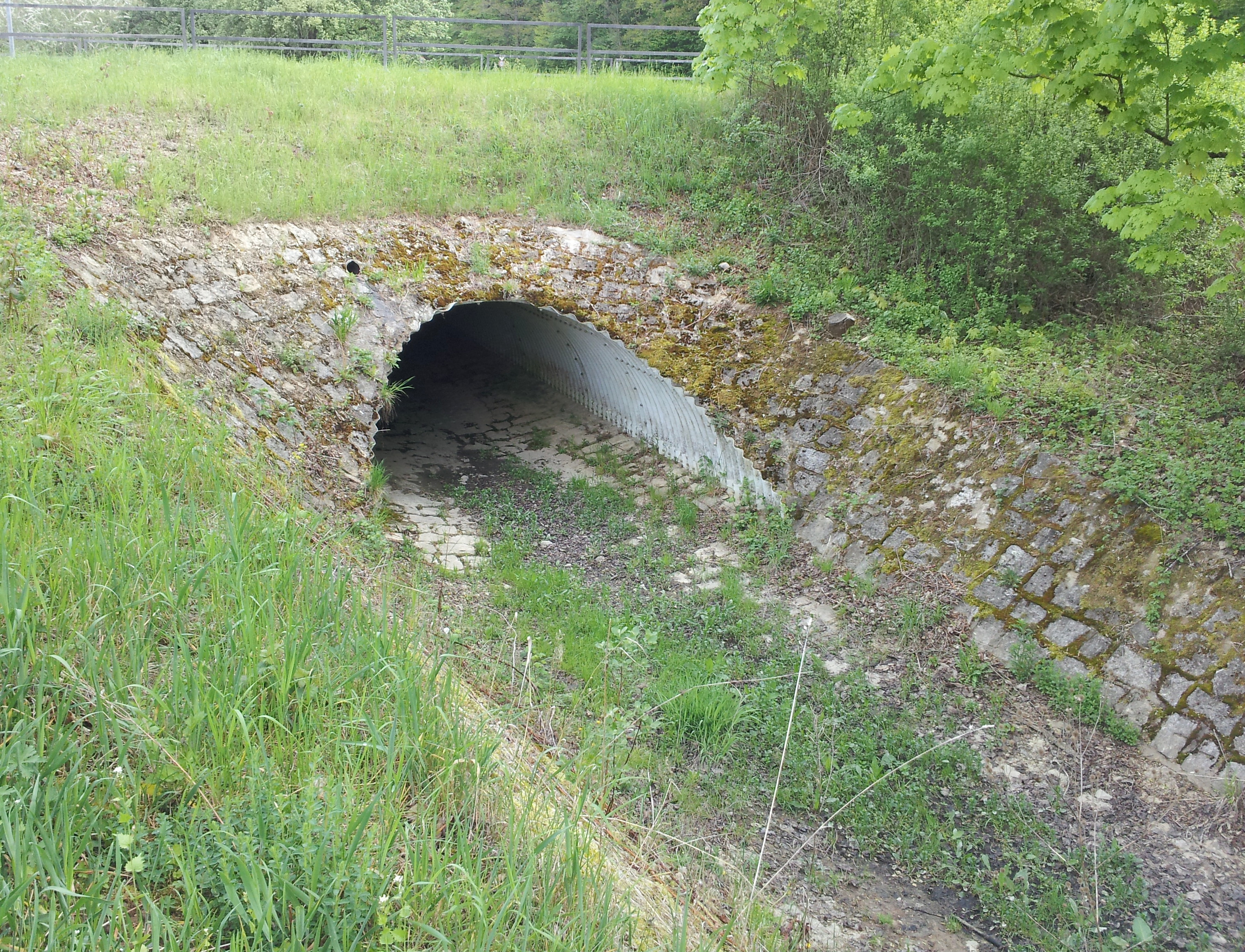
Deutsch: Unterführung des Zellergrundbachs unter der Lucas-Cranach-Straße in Schweinfurt. English: Underpass of the Zellergrundbach under the street named "Lucas-Cranach-Straße" in Schweinfurt. |
| Date | |
| Source | Own work |
| Author | Michael Bemmerl |
| Camera location | | View this and other nearby images on: OpenStreetMap |
|---|
.jpg¶ms=050.066641_N_0010.235110_E_globe:Earth_type:camera__&language=en)
Licensing
edit.jpg&action=edit§ion=2)
Michael Bemmerl, the copyright holder of this work, hereby publishes it under the following license:
This file is licensed under the Creative Commons Attribution 3.0 Germany license.
Attribution: Michael Bemmerl
- You are free:
- to share – to copy, distribute and transmit the work
- to remix – to adapt the work
- Under the following conditions:
- attribution – You must give appropriate credit, provide a link to the license, and indicate if changes were made. You may do so in any reasonable manner, but not in any way that suggests the licensor endorses you or your use.

File history
Click on a date/time to view the file as it appeared at that time.
| Date/Time | Thumbnail | Dimensions | User | Comment | |
|---|---|---|---|---|---|
| current | 00:34, 17 January 2021 | | 3,036 × 2,322 (2.9 MB) | WikiMichi (talk | contribs) | == {{int:filedesc}} == {{Information |description={{de|Unterführung des Zellergrundbachs unter der Lucas-Cranach-Straße in Schweinfurt.}}{{en|Underpass of the Zellergrundbach under the street named "Lucas-Cranach-Straße" in Schweinfurt.}} |source={{own}} |author=Michael Bemmerl |date=2019-04-29 |permission= |other_versions= }} {{Location dec|50.06664119|10.23510978}} == {{int:license-header}} == {{self|cc-by-3.0-de|author=Michael Bemmerl}} [[Category:Zellergrundbach (Marie... |
You cannot overwrite this file.
File usage on Commons
There are no pages that use this file.
File usage on other wikis
The following other wikis use this file:
- Usage on de.wikipedia.org
.jpg&oldid=734487639)