File:Zhongzhou Avenue and Nongye Expressway Interchange 02.jpg

Size of this preview: 800 × 533 pixels. Other resolutions: 320 × 213 pixels | 640 × 427 pixels | 1,024 × 683 pixels | 1,280 × 853 pixels | 2,560 × 1,707 pixels | 3,922 × 2,615 pixels.
Original file (3,922 × 2,615 pixels, file size: 2.05 MB, MIME type: image/jpeg)
Captions
Captions
Add a one-line explanation of what this file represents
Summary
edit
| Description |
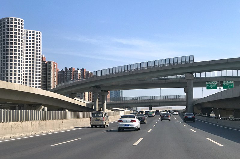
English: Zhongzhou Avenue and Nongye Expressway Interchange |
| Date | |
| Source | Own work |
| Author | Windmemories |
| Camera location | | View this and other nearby images on: OpenStreetMap |
|---|
Licensing
edit
I, the copyright holder of this work, hereby publish it under the following license:
This file is licensed under the Creative Commons Attribution-Share Alike 4.0 International license.
- You are free:
- to share – to copy, distribute and transmit the work
- to remix – to adapt the work
- Under the following conditions:
- attribution – You must give appropriate credit, provide a link to the license, and indicate if changes were made. You may do so in any reasonable manner, but not in any way that suggests the licensor endorses you or your use.
- share alike – If you remix, transform, or build upon the material, you must distribute your contributions under the same or compatible license as the original.
File history
Click on a date/time to view the file as it appeared at that time.
| Date/Time | Thumbnail | Dimensions | User | Comment | |
|---|---|---|---|---|---|
| current | 01:31, 28 May 2018 | | 3,922 × 2,615 (2.05 MB) | Windmemories (talk | contribs) | User created page with UploadWizard |
You cannot overwrite this file.
File usage on Commons
The following 2 pages use this file:
File usage on other wikis
The following other wikis use this file:
- Usage on en.wikipedia.org
- Zhengzhou
- G4 Beijing–Hong Kong and Macau Expressway
- G30 Lianyungang–Khorgas Expressway
- G36 Nanjing–Luoyang Expressway
- G40 Shanghai–Xi'an Expressway
- G45 Daqing–Guangzhou Expressway
- G55 Erenhot–Guangzhou Expressway
- G1511 Rizhao–Lankao Expressway
- G5512 Jincheng–Xinxiang Expressway
- G0421 Xuchang–Guangzhou Expressway
- G3001 Zhengzhou Ring Expressway
- S1 Zhengzhou Airport Expressway
- Longhai Expressway
- Template:Highway system of Henan
- Jingguang Expressway
- Zhongzhou Avenue
- Nongye Expressway
- S82 Zhengzhou–Minquan Expressway
- S85 Zhengzhou–Shaolinsi Expressway
- S83 Lankao–Nanyang Expressway
- 3rd Ring Road (Zhengzhou)
- S87 Zhengzhou–Yuntaishan Expressway
- S60 Shangqiu–Dengfeng Expressway
- Suzhou–Dengfeng Expressway
- S38 Xincai–Biyang Expressway
- S22 Nanle–Linzhou Expressway
- G3615 Luoyang–Lushi Expressway
- Expressways of Henan
- G1516 Yancheng–Luoyang Expressway
- G3611 Nanjing–Xinyang Expressway
- G3612 Pingdingshan–Yichang Expressway
- S88 Zhengzhou–Luanchuan Expressway
- Usage on id.wikipedia.org
- Usage on www.wikidata.org
- Usage on zh.wikipedia.org