File:Zhuo Commandery.jpg
Size of this preview: 800 × 460 pixels. Other resolutions: 320 × 184 pixels | 640 × 368 pixels | 1,024 × 588 pixels | 1,678 × 964 pixels.
Original file (1,678 × 964 pixels, file size: 222 KB, MIME type: image/jpeg)
Captions
Captions
Add a one-line explanation of what this file represents
Summary
edit
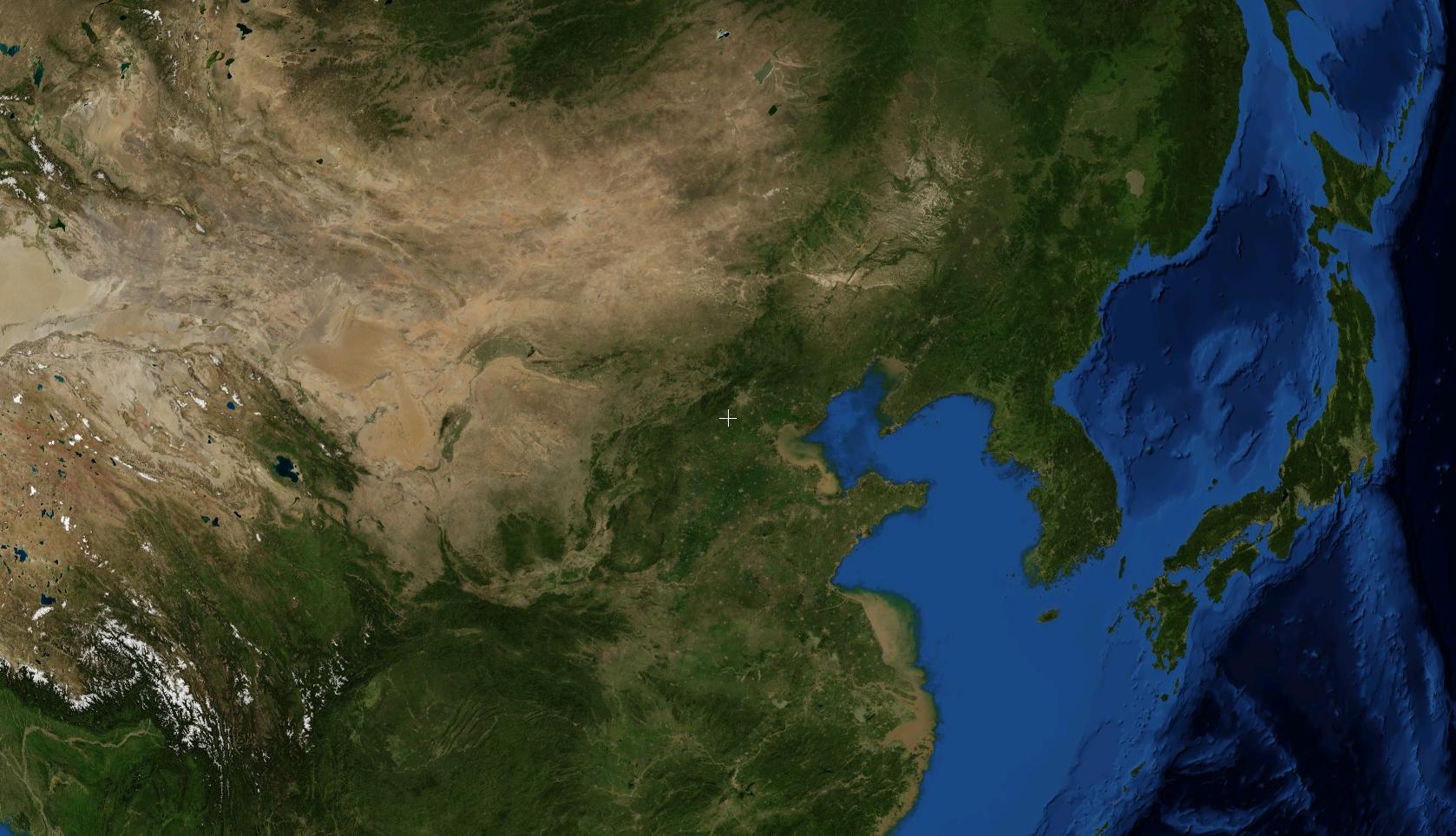
A NASA satellite photo showing the location of Zhuozhou. Known as Zhuo County or Zhuo Commandery during the Three Kingdoms period. This photo was prepared with the assistance of World Wind 1.4 software.
Licensing
edit
| This image is in the public domain because it is a screenshot from NASA’s globe software World Wind using a public domain layer, such as Blue Marble, MODIS, Landsat, SRTM, USGS or GLOBE.
|
 |
File history
Click on a date/time to view the file as it appeared at that time.
| Date/Time | Thumbnail | Dimensions | User | Comment | |
|---|---|---|---|---|---|
| current | 07:33, 18 August 2007 | | 1,678 × 964 (222 KB) | A-cai (talk | contribs) | A NASA satellite photo showing the location of w:Zhuozhou. Known as w:Zhuo County or w:Zhuo w:Commandery during the Three Kingdoms period. This photo was prepared with the assistance of w:World Wind 1.4 software. |
You cannot overwrite this file.
File usage on Commons
There are no pages that use this file.
File usage on other wikis
The following other wikis use this file:
- Usage on id.wikipedia.org
- Usage on ja.wikipedia.org