File:Zona de peligro.jpg
Size of this preview: 800 × 600 pixels. Other resolutions: 320 × 240 pixels | 640 × 480 pixels | 1,024 × 768 pixels | 1,280 × 960 pixels | 2,560 × 1,920 pixels | 3,264 × 2,448 pixels.
Original file (3,264 × 2,448 pixels, file size: 2.63 MB, MIME type: image/jpeg)
Captions
Captions
Huaral District
Summary
edit
| Description |
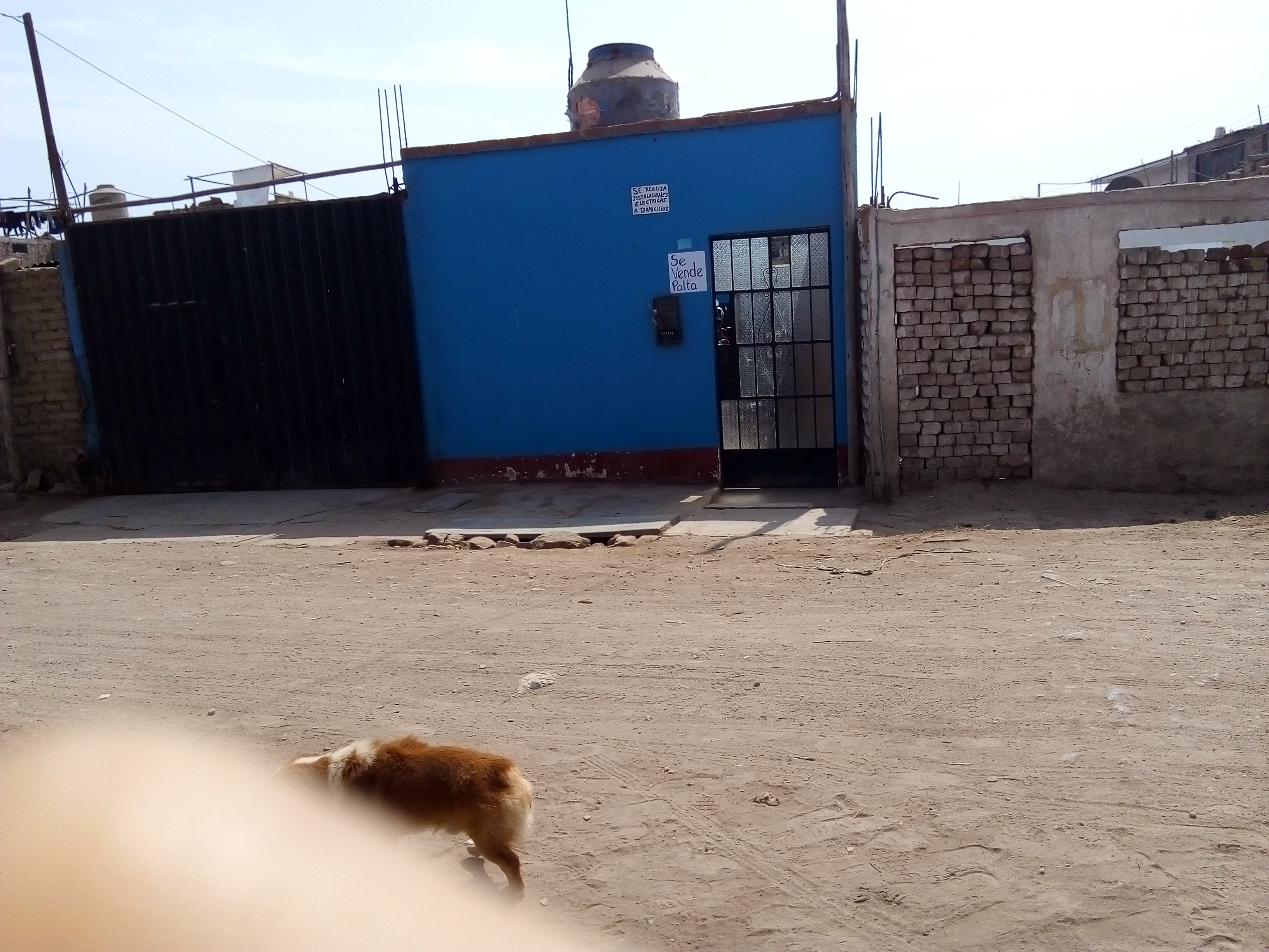
Español: Si nos fijamos en los detalles, podemos percatarnos como en la casa blanca, la puerta y ventana están sustituidas por pilas de ladrillos.
Esto genera una zona de peligro para las personas, puesto que, al momento de evacuar, este montón de ladrillos puede derrumbarse y lastimar a quienes se encuentran por ese sitio, en el distrito de Huaral de la provincia de Huaral. |
| Date | |
| Source | Own work |
| Author | Gladys Celina Ramirez Rucana |
| Camera location | | View this and other nearby images on: OpenStreetMap |
|---|
Licensing
edit
I, the copyright holder of this work, hereby publish it under the following license:
This file is licensed under the Creative Commons Attribution-Share Alike 4.0 International license.
- You are free:
- to share – to copy, distribute and transmit the work
- to remix – to adapt the work
- Under the following conditions:
- attribution – You must give appropriate credit, provide a link to the license, and indicate if changes were made. You may do so in any reasonable manner, but not in any way that suggests the licensor endorses you or your use.
- share alike – If you remix, transform, or build upon the material, you must distribute your contributions under the same or compatible license as the original.
The making and/or upload of this document was supported by Wikimedia Perú.
For all the files concerned, please see the category Supported by Wikimedia Perú. |
File history
Click on a date/time to view the file as it appeared at that time.
| Date/Time | Thumbnail | Dimensions | User | Comment | |
|---|---|---|---|---|---|
| current | 20:14, 4 June 2022 | | 3,264 × 2,448 (2.63 MB) | Gladys Celina Ramirez Rucana (talk | contribs) | Uploaded own work with UploadWizard |
You cannot overwrite this file.
File usage on Commons
There are no pages that use this file.