Saarlouis
city in the Saarland, Germany
| Object location | | View all coordinates using: OpenStreetMap |
|---|

|
Saarlouis is a town in the Saarland, Germany, built after the Peace of Nijmegue (1679). |
.jpg)
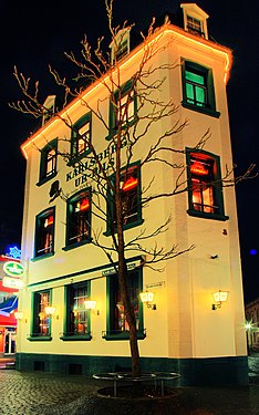
Old town
editAlte Brauerei Strasse - Rue de la vieille Brasserie
editMain category: Alte Brauerei Straße (Saarlouis)
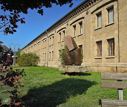
Kaserne VI is the southern part.
-
 18
18 -
 16
16 -
 14
14 -
 12
12 -
 8
8 -
 6
6 -
 Kaserne VI view to the east
 -
 Kaserne VI (1866-1869)
 -
 Kaserne VI 1-3 south view


.jpg)
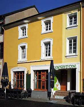
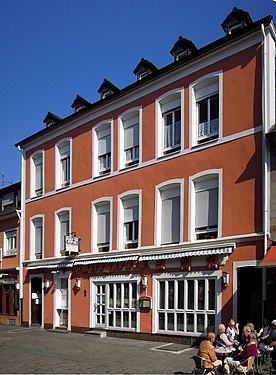
Bierstraße - Rue de la Bière
editMain category: Bierstraße (Saarlouis)
-
 1
1 -
 3
3 -
 7
7 -
 9
9 -
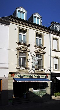
 11 House with 3 columns
 -
 13
13 -
 Marshall Ney is born here in 1769
 -
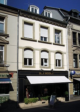
 8
8 -
 6
6 -
 7st Heaven - Corner Bierstrasse- Alte-Brauerei (??)


Sonnenstrasse - Rue du Soleil
editMain category: Sonnenstraße (Saarlouis)
Perpendicular to the Bierstrasse.


Silberherzstraße - Rue au coeur d'argent
editMain category: Silberherzstraße (Saarlouis)
-
 20
20 -
 18
18 -
 14
14 -
 12
12 -
 8
8 -
 6 in 2011
 -
 4 in 2017
 -
 2?
2? -
 Global view
 -
 1
1


.jpg)


City center
editWeißkreuzstraße - Rue de la croix blanche
editMain category: Weißkreuzstraße (Saarlouis)
-

-
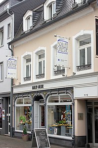 12
12 -
 11-12
11-12 -
 10
10 -
 8
8 -
 8 (1901) in 2011
 -
 7 with Grand Cardinal statue
 -


Kleiner Markt - Petit Marché (place)
editMain category: Kleiner Markt (Saarlouis)
-
 Fountain
 -
 The steel Gallery is an architecture 1983 prize
 -
 Kaserne IV 1863/1982
 -

-
 Towards the main market place (after Französische Strasse)
 -
 Französische Straße


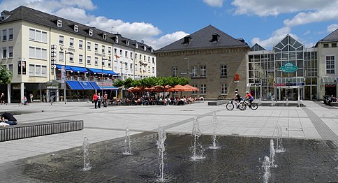
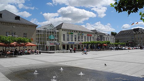
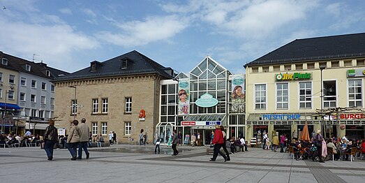
Großer Markt - Grand Marché (place centrale)
editMain category: Großer Markt (Saarlouis)
-
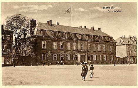 Kommandantur, Governemental building built in 1683
 -
 Kommandantur, Post office in 1927, rebuilt in the 1960s
 -
 St. Louis church in 2007
 -
 Bookstore Book & Seip; St. Louis church; Sparkasse in 2007
 -
 Fountain of Mary in 2011
 -
 Fountain in 2015
 -
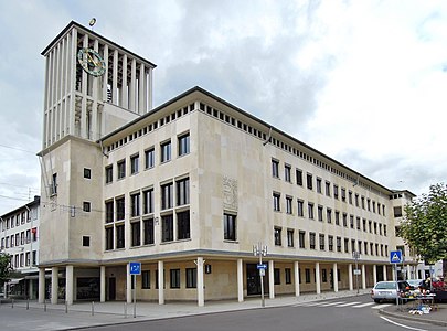 Town hall (1954), along Deutsche Strasse
 -
 Fountain in 1842


.JPG)
Canisianum
editMain category: St. Petrus Canisius (Saarlouis)
-
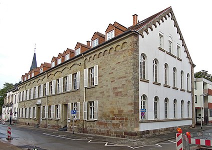 Former Hospital, Stiftstrasse 14-18, reconstructed in 1841
 -
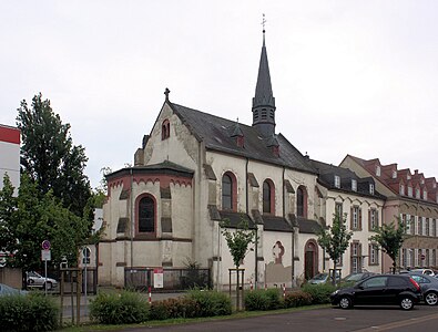 Petrus Canisius (1521-1597) church, built 1901
 -
 Renovation in 2017
.jpg)

.jpg)
Fortification
editMain category: Saarlouis Fortifications
Near the old Saar river, north-west of town.
-
 In 2012 (view to the south)
 -
 In 2017
 -
 Fortifications north of Saarlouis, old Saar view towards the VAUBAN island (Demi-Lune) and the Michel Ney statue.
 -
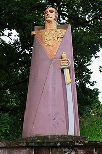 Michel Ney, Beton sculpture by Jean Lambert Rucki (1946)
 -
 Soldat Lacroix (1973)
 -
 View from the bridge towards the VAUBAN island. Gymnasium building on the right.
 -
 near Gymnasium


Deutsches Tor
editMain category: Deutsches Tor (Saarlouis)


Buildings south of town
edit-
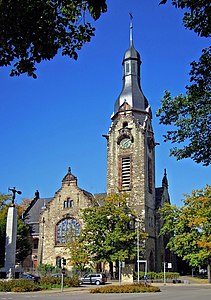 Evangelic church built in 1906
 -
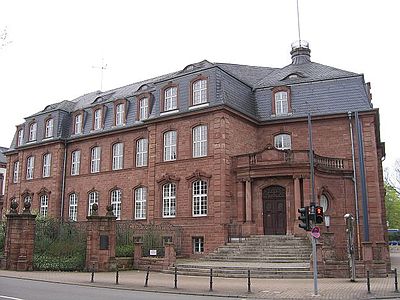 District administration building (Landratsamt), built in 1911
 -
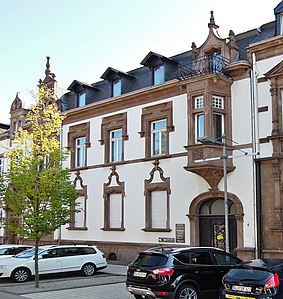
 Built in 1895
 -
 Hohenzollernring 2
 -
 Hohenzollernring 4, 1901
 -
 Hohenzollernring 6, 1901
 -
 Hohenzollernring 8, 1900 ca
 -
 Lisdorfer Straße 1, 1894
.JPG)


.jpg)