Schreckhorn
mountain peak in the administrative district of Interlaken-Oberhasli in the canton of Bern, Switzerland
mountain peak in the administrative district of Interlaken-Oberhasli in the canton of Bern, Switzerland   | |||||
| Upload media | |||||
| Instance of | |||||
|---|---|---|---|---|---|
| Location | Grindelwald, Interlaken-Oberhasli administrative district, Oberland administrative region, Bern, Switzerland | ||||
| Mountain range |
| ||||
| Topographic prominence |
| ||||
| Topographic isolation |
| ||||
| Elevation above sea level |
| ||||
| Parent peak | |||||
 | |||||
Photographs edit
-
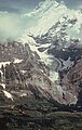 Oberer Grindelwaldgletscher mit Schreckhorn
 -
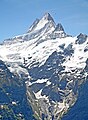 Schreckhorn, gesehen von Grindelwald
 -

-
 Schreckhorn (4.078 Meter ü. M.)
 -
 Schreckhorn and nearby Lauteraarhorn
 -
 Schreckhorn seen from Eismeer


-
 Schreckhorn um 1874, etwas idealisiert
 -
 Schrekhorn and Lauteraarhorn
 -
 Schrekhorn seen from Lauteraarhorn
 -
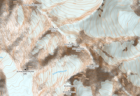 Kleines Schreckhorn, Nässihorn, Schreckhorn und Schrecksattel, Lauteraarhorn, → map,
 ISS view
with Obers Ischmeer (Unterer Grindelwaldgletscher) -
 Schreckhorn and Klein Schreckhorn
 -
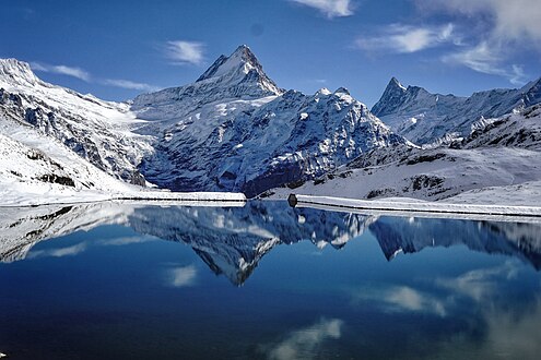
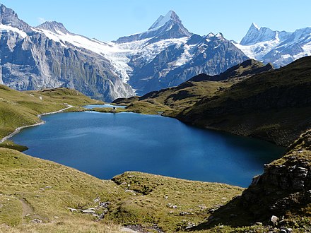 vom Bachalpsee
 -
 in October with snow in mountains of Bernese Alps


