WGSRPD maps
English: The World Geographic Scheme for Recording Plant Distributions (WGSRPD) divides the world into 9 "botanical continents" which are then divided into between 2 and 9 regions. The table below contains maps of the continents and regions arranged in order of the WGSRPD numeric codes.
| World |  | ||
| 1 | Europe |  | |
| 10 | Northern Europe |  | |
| 11 | Middle Europe |  | |
| 12 | Southwestern Europe |  | |
| 13 | Southeastern Europe |  | |
| 14 | Eastern Europe |  | |
| 2 | Africa | See World map. | |
| 20 | Northern Africa |  | |
| 21 | Macaronesia |  | |
| 22 | West Tropical Africa | 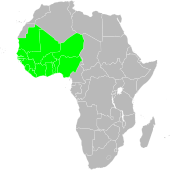 | |
| 23 | West-Central Tropical Africa |  | |
| 24 | Northeast Tropical Africa |  | |
| 25 | East Tropical Africa |  | |
| 26 | South Tropical Africa | 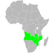 | |
| 27 | Southern Africa |   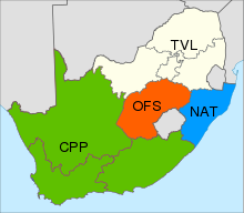 | |
| 28 | Middle Atlantic Ocean |  | |
| 29 | Western Indian Ocean | 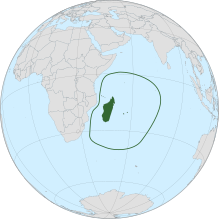 | |
| 3 | Asia-Temperate | See World map. | |
| 30 | Siberia |  | |
| 31 | Russian Far East | 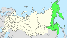 | |
| 32 | Middle Asia |  | |
| 33 | Caucasus |  | |
| 34 | Western Asia | 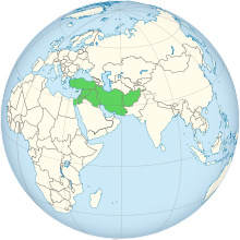 | |
| 35 | Arabian Peninsula |  | |
| 36 | China |  | |
| 37 | Mongolia |  | |
| 38 | Eastern Asia |  | |
| 4 | Asia-Tropical | See World map. | |
| 40 | Indian Subcontinent |  | |
| 41 | Indo-China |  | |
| 42 | Malesia | 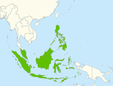 | |
| 43 | Papuasia |  | |
| 5 | Australasia |  | |
| 50 | Australia | ||
| 51 | New Zealand | ||
| 6 | Pacific |  | |
| 60 | Southwestern Pacific | ? | |
| 61 | South-Central Pacific | ? | |
| 62 | Northwestern Pacific | ? | |
| 63 | North-Central Pacific | ? | |
| 7 | Northern America |  | |
| 70 | Subarctic America | 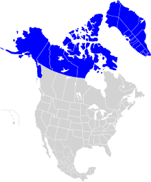 | |
| 71 | Western Canada | 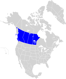 | |
| 72 | Eastern Canada |  | |
| 73 | Northwestern U.S.A. |  | |
| 74 | North-Central U.S.A. |  | |
| 75 | Northeastern U.S.A. |  | |
| 76 | Southwestern U.S.A. |  | |
| 77 | South-Central U.S.A. |  | |
| 78 | Southeastern U.S.A. |  | |
| 79 | Mexico |  | |
| 8 | Southern America |  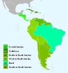 | |
| 80 | Central America |  | |
| 81 | Caribbean | 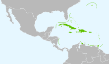 | |
| 82 | Northern South America |  | |
| 83 | Western South America | 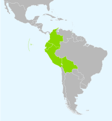 | |
| 84 | Brazil |  | |
| 85 | Southern South America |  | |
| 9 | Antarctic |  | |
| 90 | Subantarctic Islands | ||
| 91 | Antarctic Continent | ||