Category:Maps of Nairnshire
Traditional counties (shires) of Scotland: Aberdeenshire · Angus · Argyll ≈ Argyllshire · Ayrshire · Banffshire · Berwickshire · Buteshire · Caithness · Clackmannanshire · Cromartyshire · Dumbartonshire · Dumfriesshire · East Lothian · Fife · Inverness-shire · Kincardineshire · Kinross-shire · Kirkcudbrightshire · Lanarkshire · Midlothian · Moray · Nairnshire · the Orkney Islands ≈ Orkney Islands · Peeblesshire · Perthshire · Renfrewshire · Ross-shire · Roxburghshire · Selkirkshire · the Shetland Islands ≈ Shetland Islands · Stirlingshire · Sutherland · West Lothian · Wigtownshire
Wikimedia category | |||||
| Upload media | |||||
| Instance of | |||||
|---|---|---|---|---|---|
| Category combines topics | |||||
| Nairnshire | |||||
historic county, lieutenancy area and registration county in Scotland   | |||||
| Instance of |
| ||||
| Part of | |||||
| Location | Highland, Scottish Highlands, Scotland | ||||
| Population |
| ||||
 | |||||
Subcategories
This category has the following 2 subcategories, out of 2 total.
Media in category "Maps of Nairnshire"
The following 13 files are in this category, out of 13 total.
-
 Cairngorms National Park UK relief location map.png 2,001 × 1,646; 3.98 MB
-
 Nairn Town center.png 1,055 × 683; 565 KB
-
 Nairn UK blank map.svg 1,311 × 1,424; 787 KB
-
 Nairn UK location map.svg 1,311 × 1,424; 921 KB
-
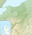 Nairn UK relief location map.jpg 2,002 × 2,176; 351 KB
-
 Nairnshire - British Isles.svg 1,250 × 1,835; 1,002 KB
-
 Nairnshire Brit Isles Sect 1.svg 901 × 797; 1,004 KB
-
 Nairnshire Brit Isles Sect 2.svg 915 × 841; 1,004 KB
-
 Nairnshire-Scotland.svg 690 × 1,039; 992 KB
-
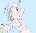
 NairnshireBrit2.GIF 608 × 604; 13 KB
-
 NairnshireBrit2.PNG 608 × 604; 20 KB
-
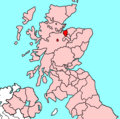
 NairnshireTraditional.png 420 × 520; 12 KB
-
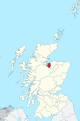
 Scot1975Nairn.png 200 × 229; 30 KB


