Category:Public transport maps of Manila
Media in category "Public transport maps of Manila"
The following 19 files are in this category, out of 19 total.
-
 Manila Line 1 and 2 map-tl.png 1,650 × 2,100; 52 KB
-
 Manila LRT map-en.png 1,650 × 2,100; 50 KB
-
 Manila LRT map-oct-10 mc.png 1,650 × 2,100; 77 KB
-
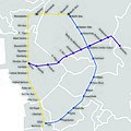
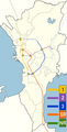
 Manila LRT-1 and MRT-2 map.png 469 × 520; 20 KB
-
 Manila LRT-MRT map.jpg 1,500 × 1,500; 1.31 MB
-
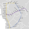 Manila LRT-MRT map.png 1,500 × 1,500; 130 KB
-
 Manila metro.svg 865 × 689; 23 KB
-
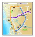
 Manila-transportation-map.jpg 2,550 × 2,671; 2.61 MB
-
 Manila-transportation-map.pdf 1,275 × 1,335, 2 pages; 65.16 MB
-
 Manila-transportation-map.png 2,121 × 2,329; 3.83 MB
-
 Metro Manila rail network.svg 512 × 839; 767 KB
-
 Metro Manila railway map 2011.PNG 612 × 866; 78 KB
-
 MetroManilaComplete.JPG 780 × 975; 384 KB
-
 Railway Map Philippines.gif 697 × 528; 7 KB
-
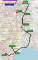 Southeast Metro Manila Interchange.png 600 × 952; 952 KB
-
 SRTS Full Map Mar-2010 MC.png 1,600 × 2,500; 323 KB
-
 SRTS Full Map Oct-2010 MC.svg 3,596 × 5,684; 115 KB
-
 SRTS map PNG.png 420 × 826; 89 KB
-
 The Street railway journal (1905) (14574503429).jpg 3,729 × 2,517; 3.46 MB


_(14574503429).jpg)