File:東ヌプカウシヌプリ.jpg
Size of this preview: 800 × 600 pixels. Other resolutions: 320 × 240 pixels | 640 × 480 pixels | 1,024 × 768 pixels | 1,280 × 960 pixels | 2,048 × 1,536 pixels.
Original file (2,048 × 1,536 pixels, file size: 1.29 MB, MIME type: image/jpeg)
Captions
Captions
Add a one-line explanation of what this file represents
Summary edit
| Description |
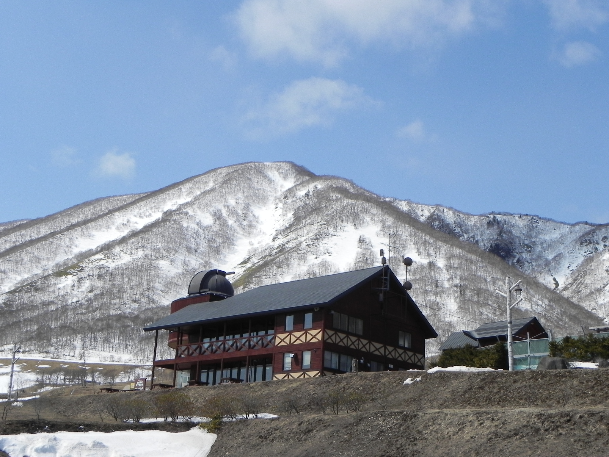
日本語: 東ヌプカウシヌプリを東南東から望む。手前は士幌高原ヌプカの里。
English: Higashinupukaushinupuri seen from the ESE. |
| Date |
Taken on 3 April 2011 Upload date: 3 April 2011 |
| Source | https://www.panoramio.com/photo/50451223 |
| Author | pakku |
| Camera location | | View this and other nearby images on: OpenStreetMap |
|---|
Licensing edit
This file is licensed under the Creative Commons Attribution 3.0 Unported license.
Attribution: pakku
- You are free:
- to share – to copy, distribute and transmit the work
- to remix – to adapt the work
- Under the following conditions:
- attribution – You must give appropriate credit, provide a link to the license, and indicate if changes were made. You may do so in any reasonable manner, but not in any way that suggests the licensor endorses you or your use.
| This image was originally posted to Panoramio by pakku at https://www.panoramio.com/photo/50451223. It was reviewed on 2 November 2016 by the Panoramio Review Bot robot and was confirmed to be licensed under the terms of the cc-by-3.0. |
File history
Click on a date/time to view the file as it appeared at that time.
| Date/Time | Thumbnail | Dimensions | User | Comment | |
|---|---|---|---|---|---|
| current | 13:14, 2 November 2016 | | 2,048 × 1,536 (1.29 MB) | Opqr (talk | contribs) | =={{int:filedesc}}== {{Information |description=東ヌプカウシヌプリと士幌高原ヌプカの里キャンプ場 |date={{Taken on|2011-04-03}}<br>{{uploaded on|2011-4-3}} |source=http://www.panoramio.com/photo/50451223 |author=[http://www.panor... |
You cannot overwrite this file.
File usage on Commons
The following page uses this file:
File usage on other wikis
The following other wikis use this file:
- Usage on eu.wikipedia.org
- Usage on ja.wikipedia.org
- Usage on ko.wikipedia.org
- Usage on pt.wikipedia.org
- Usage on sv.wikipedia.org
- Usage on www.wikidata.org
- Usage on zh.wikipedia.org