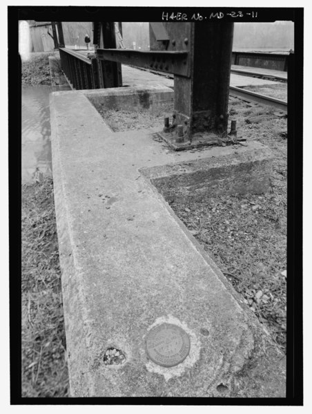
File:A U.S. Geological Survey marker embedded in the northeast corner of concrete abutment. This view also shows the basic abutment and tower footing arrangement. - Potomac Edison HAER MD,22-WILPO,1-11.tif
Size of this JPG preview of this TIF file: 452 × 599 pixels. Other resolutions: 181 × 240 pixels | 362 × 480 pixels | 580 × 768 pixels | 773 × 1,024 pixels | 1,546 × 2,048 pixels | 3,790 × 5,020 pixels.
Original file (3,790 × 5,020 pixels, file size: 18.15 MB, MIME type: image/tiff)
Captions
Captions
Add a one-line explanation of what this file represents
Summary edit
| Photographer |
Lowe, Jet |
|||
| Title |
A U.S. Geological Survey marker embedded in the northeast corner of concrete abutment. This view also shows the basic abutment and tower footing arrangement. - Potomac Edison Company, Chesapeake and Ohio Canal Bridge, Spanning C and O Canal South of U.S. 11, Williamsport, Washington County, MD |
|||
| Description |
Potomac Edison Company; Western Maryland Railway; New York Central Railway; Fancus Machine Company; Westinghouse Electric Corporation; Chesapeake and Ohio Canal; Chesapeake and Ohio Canal, project manager; Marston, Christopher, project manager; Tamburro, Sam, sponsor |
|||
| Depicted place | Maryland; Washington County; Williamsport | |||
| Date | Documentation compiled after 1968; 2008 | |||
| Dimensions | 5 x 7 in. | |||
| Current location |
Library of Congress Prints and Photographs Division Washington, D.C. 20540 USA http://hdl.loc.gov/loc.pnp/pp.print |
|||
| Accession number |
HAER MD,22-WILPO,1-11 |
|||
| Credit line |
|
|||
| Notes |
|
|||
| Source | https://www.loc.gov/pictures/item/md0741.photos.364193p | |||
| Permission (Reusing this file) |
|

| Object location | | View this and other nearby images on: OpenStreetMap |
|---|
File history
Click on a date/time to view the file as it appeared at that time.
| Date/Time | Thumbnail | Dimensions | User | Comment | |
|---|---|---|---|---|---|
| current | 07:04, 22 July 2014 |  | 3,790 × 5,020 (18.15 MB) | Fæ (talk | contribs) | GWToolset: Creating mediafile for Fæ. HABS 21 July 2014 (1601:1800) |
You cannot overwrite this file.
File usage on Commons
The following page uses this file: