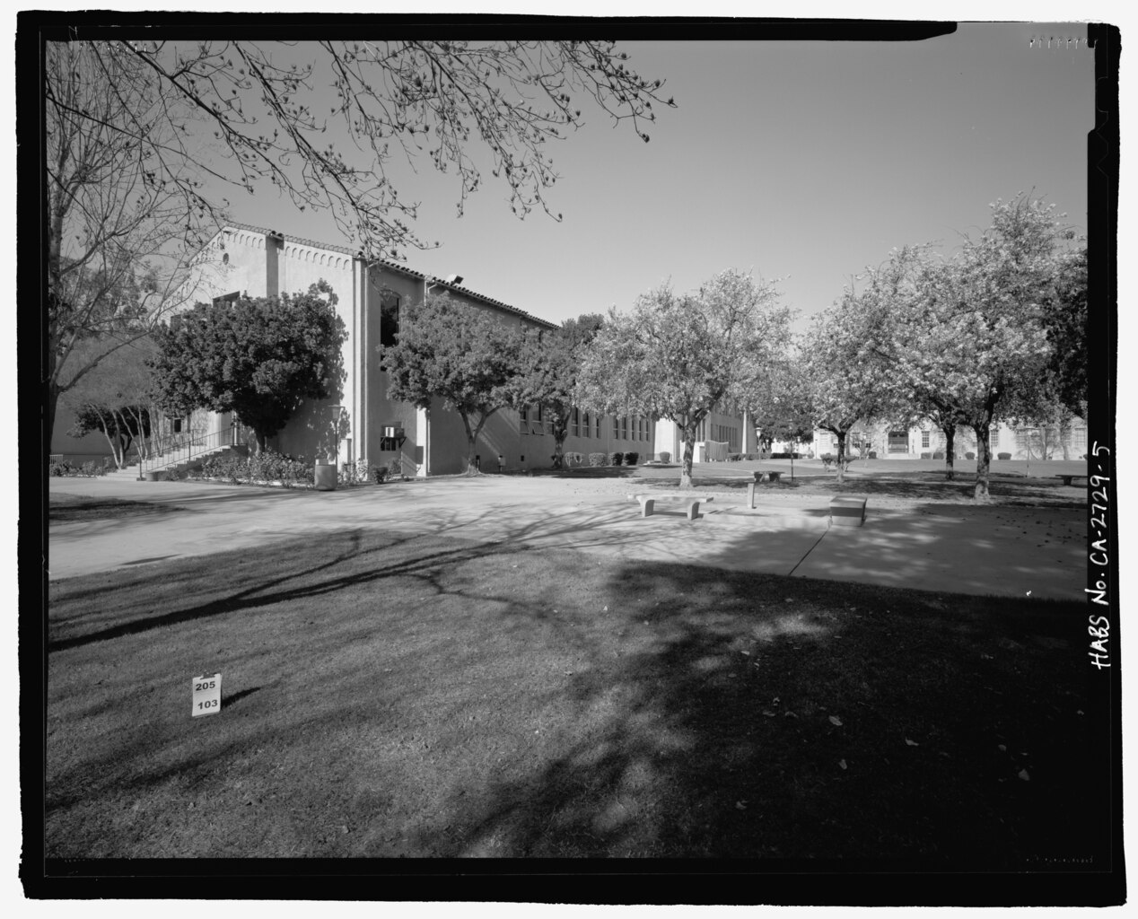
File:A northwest view from the campus center building toward the south side and east rear of the administration building. The former front entrance of the life sciences building is visible HABS CA-2729-5.tif

Size of this JPG preview of this TIF file: 743 × 600 pixels. Other resolutions: 297 × 240 pixels | 595 × 480 pixels | 951 × 768 pixels | 1,268 × 1,024 pixels | 2,536 × 2,048 pixels | 5,346 × 4,317 pixels.
Original file (5,346 × 4,317 pixels, file size: 22.01 MB, MIME type: image/tiff)
Captions
Captions
Add a one-line explanation of what this file represents
Summary edit
| Photographer |
De Vries, David Related names:
|
|||
| Title |
A northwest view from the campus center building toward the south side and east rear of the administration building. The former front entrance of the life sciences building is visible in the distance to the right. - San Bernardino Valley College, 701 South Mount Vernon Avenue, San Bernardino, San Bernardino County, CA |
|||
| Depicted place | California; San Bernardino County; San Bernardino | |||
| Date | 2001 | |||
| Dimensions | 4 x 5 in. | |||
| Current location |
Library of Congress Prints and Photographs Division Washington, D.C. 20540 USA http://hdl.loc.gov/loc.pnp/pp.print |
|||
| Accession number |
HABS CA-2729-5 |
|||
| Credit line |
|
|||
| Notes |
|
|||
| Source | https://www.loc.gov/pictures/item/ca3112.photos.206643p | |||
| Permission (Reusing this file) |
|

| Object location | | View this and other nearby images on: OpenStreetMap |
|---|
File history
Click on a date/time to view the file as it appeared at that time.
| Date/Time | Thumbnail | Dimensions | User | Comment | |
|---|---|---|---|---|---|
| current | 13:48, 6 July 2014 |  | 5,346 × 4,317 (22.01 MB) | Fæ (talk | contribs) | GWToolset: Creating mediafile for Fæ. HABS 05 July 2014 (501:600) |
You cannot overwrite this file.
File usage on Commons
The following page uses this file: