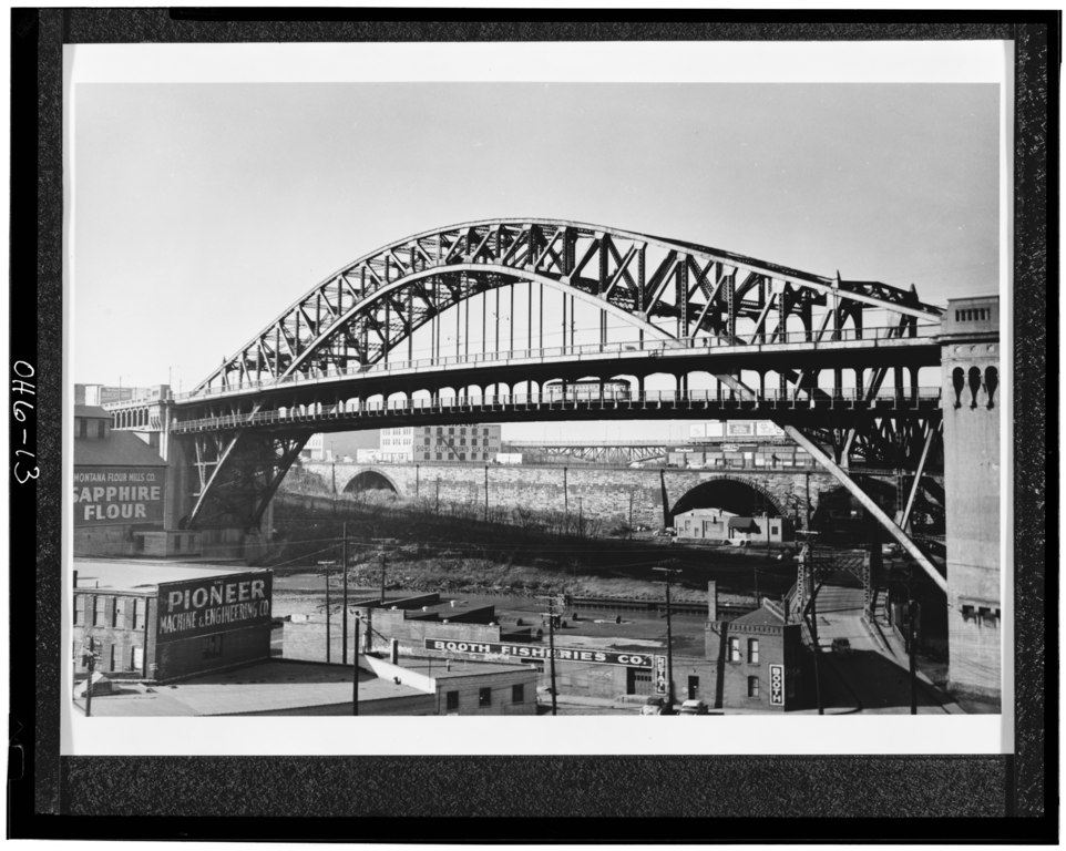
File:A streetcar crosses the Cuyahoga River in the waning days of Cleveland's trolley age. Copy of photograph taken by Herbert H. Harwood, Jr., Baltimore, Maryland, photo courtesy HAER OHIO,18-CLEV,22-13.tif

Size of this JPG preview of this TIF file: 751 × 600 pixels. Other resolutions: 301 × 240 pixels | 601 × 480 pixels | 962 × 768 pixels | 1,280 × 1,022 pixels | 2,560 × 2,044 pixels | 5,000 × 3,993 pixels.
Original file (5,000 × 3,993 pixels, file size: 19.04 MB, MIME type: image/tiff)
Captions
Captions
Add a one-line explanation of what this file represents
Summary edit
| Title |
A streetcar crosses the Cuyahoga River in the waning days of Cleveland's trolley age. Copy of photograph taken by Herbert H. Harwood, Jr., Baltimore, Maryland, photo courtesy Mr. Harwood - Detroit Superior High Level Bridge, Cleveland, Cuyahoga County, OH |
|||
| Depicted place | Ohio; Cuyahoga County; Cleveland | |||
| Date | Documentation compiled after 1968 | |||
| Dimensions | 4 x 5 in. | |||
| Current location |
Library of Congress Prints and Photographs Division Washington, D.C. 20540 USA http://hdl.loc.gov/loc.pnp/pp.print |
|||
| Accession number |
HAER OHIO,18-CLEV,22-13 |
|||
| Credit line |
|
|||
| Notes |
|
|||
| Source | https://www.loc.gov/pictures/item/oh0124.photos.125732p | |||
| Permission (Reusing this file) |
|

| Object location | | View this and other nearby images on: OpenStreetMap |
|---|
File history
Click on a date/time to view the file as it appeared at that time.
| Date/Time | Thumbnail | Dimensions | User | Comment | |
|---|---|---|---|---|---|
| current | 11:21, 30 July 2014 |  | 5,000 × 3,993 (19.04 MB) | Fæ (talk | contribs) | GWToolset: Creating mediafile for Fæ. HABS 30 July 2014 (2601:2900) |
You cannot overwrite this file.
File usage on Commons
The following 2 pages use this file: