File:Arkhangelsk Monument400YearsCityFoundation 009 0921.jpg

Size of this preview: 800 × 507 pixels. Other resolutions: 320 × 203 pixels | 640 × 406 pixels | 1,024 × 649 pixels | 1,280 × 811 pixels | 2,560 × 1,623 pixels | 8,925 × 5,658 pixels.
Original file (8,925 × 5,658 pixels, file size: 43.39 MB, MIME type: image/jpeg)
Captions
Captions
Add a one-line explanation of what this file represents
Summary edit
| Description |
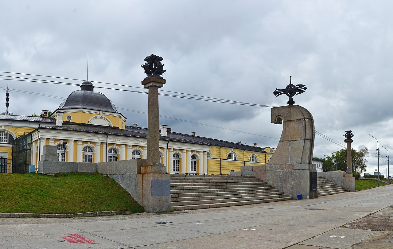
Русский: Памятный знак на мысе Пур-Наволок, сооруженный на месте основания Архангельска к 400-летию города
|
||
| Date | |||
| Source | Own work | ||
| Author | Ludvig14 |
| Camera location | | View this and other nearby images on: OpenStreetMap |
|---|

|
Эта фотография сделана в ходе вики-экспедиции по русскому Северу, август 2019.
This picture was taken during a Russian Wikivoyage expedition. |
Licensing edit
I, the copyright holder of this work, hereby publish it under the following license:
This file is licensed under the Creative Commons Attribution-Share Alike 4.0 International license.
- You are free:
- to share – to copy, distribute and transmit the work
- to remix – to adapt the work
- Under the following conditions:
- attribution – You must give appropriate credit, provide a link to the license, and indicate if changes were made. You may do so in any reasonable manner, but not in any way that suggests the licensor endorses you or your use.
- share alike – If you remix, transform, or build upon the material, you must distribute your contributions under the same or compatible license as the original.
| This photo for Wikivoyage was uploaded as part of Wiki Loves Monuments 2019 in Russia |
File history
Click on a date/time to view the file as it appeared at that time.
| Date/Time | Thumbnail | Dimensions | User | Comment | |
|---|---|---|---|---|---|
| current | 22:32, 30 September 2019 | | 8,925 × 5,658 (43.39 MB) | Ludvig14 (talk | contribs) | User created page with UploadWizard |
You cannot overwrite this file.
File usage on Commons
There are no pages that use this file.
File usage on other wikis
The following other wikis use this file:
- Usage on ru.wikivoyage.org