File:B2 namous 2010.JPG
Size of this preview: 577 × 599 pixels. Other resolutions: 231 × 240 pixels | 462 × 480 pixels | 696 × 723 pixels.
Original file (696 × 723 pixels, file size: 43 KB, MIME type: image/jpeg)
Captions
Captions
Add a one-line explanation of what this file represents
Summary edit
| Description |
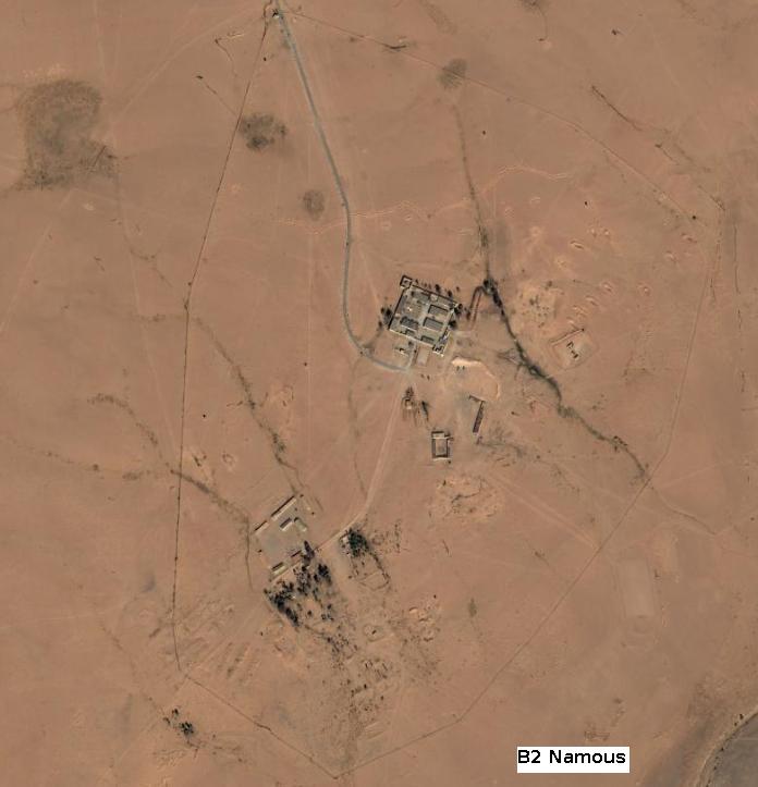
English: An aerial photography of a former French Army installation in Sahara (ex-French Algeria military territory) called B2 Namous. Photo taken from an helicopter by me in February 2008. I've added the caption "B2 Namous" to the photgraphy. The north position shows the checkpoint, the east position is the main installation with an heliport, the west position is the barracks, the border shows the defensive perimeter. Installation is now abandonned. |
| Date | |
| Source | Own work |
| Author | Madame Grinderche |
Licensing edit
I, the copyright holder of this work, hereby publish it under the following license:
This file is licensed under the Creative Commons Attribution 3.0 Unported license.
- You are free:
- to share – to copy, distribute and transmit the work
- to remix – to adapt the work
- Under the following conditions:
- attribution – You must give appropriate credit, provide a link to the license, and indicate if changes were made. You may do so in any reasonable manner, but not in any way that suggests the licensor endorses you or your use.
The picture does not match with the location given by Google earth with the same item.
File history
Click on a date/time to view the file as it appeared at that time.
| Date/Time | Thumbnail | Dimensions | User | Comment | |
|---|---|---|---|---|---|
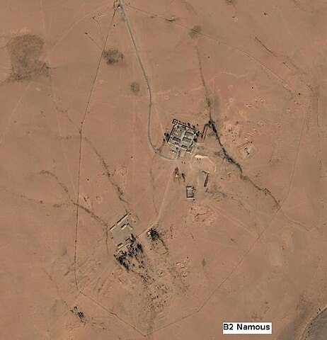
| current | 08:39, 3 February 2010 | | 696 × 723 (43 KB) | Madame Grinderche (talk | contribs) | {{Information |Description={{en|1=An aerial photography of a former French Army installation in Sahara (ex-French Algeria military territory) called B2 Namous. Photo taken from an helicopter by me in February 2010. I've added the caption "B2 Namous" to th |
You cannot overwrite this file.
File usage on Commons
The following page uses this file:
File usage on other wikis
The following other wikis use this file:
- Usage on fr.wikipedia.org