File:Chile Exclusive Economic Zones.PNG
Size of this preview: 800 × 391 pixels. Other resolutions: 320 × 156 pixels | 640 × 313 pixels | 1,024 × 501 pixels | 1,280 × 626 pixels | 2,410 × 1,178 pixels.
Original file (2,410 × 1,178 pixels, file size: 154 KB, MIME type: image/png)
Captions
Captions
Add a one-line explanation of what this file represents
Summary edit
| Description |
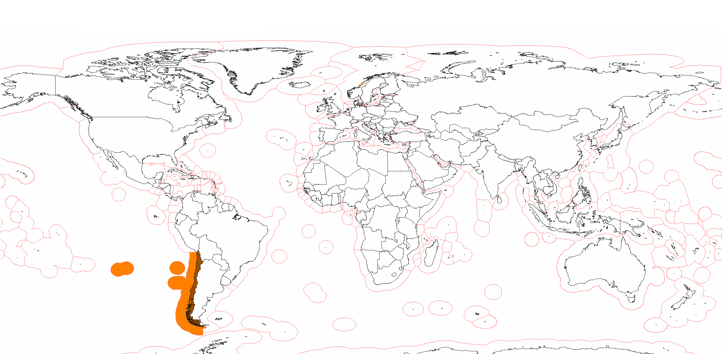
English: A colored map showing the exclusive economic zones of Chile. |
| Date | |
| Source | Own work |
| Author | Cateatcat |
Licensing edit
| I, the copyright holder of this work, release this work into the public domain. This applies worldwide. In some countries this may not be legally possible; if so: I grant anyone the right to use this work for any purpose, without any conditions, unless such conditions are required by law. |
File history
Click on a date/time to view the file as it appeared at that time.
| Date/Time | Thumbnail | Dimensions | User | Comment | |
|---|---|---|---|---|---|
| current | 14:55, 25 July 2020 | | 2,410 × 1,178 (154 KB) | Maphobbyist (talk | contribs) | Added the borders of South Sudan and Montengro, and the Sea of Okhotsk is now wholly within the Russian EEZ. |
| 20:38, 27 April 2009 |  | 2,410 × 1,178 (179 KB) | Cateatcat (talk | contribs) | {{Information |Description={{en|1=A colored map showing the exclusive economic zones of Chile.}} |Source=Own work by uploader |Author=Cateatcat |Date=26 April 2008 |Permission= |other_versions= }} <!--{{ImageUpload|full}}--> |
You cannot overwrite this file.
File usage on Commons
There are no pages that use this file.
File usage on other wikis
The following other wikis use this file:
- Usage on kn.wikipedia.org