File:Colombia Antioquia location map.svg

Size of this PNG preview of this SVG file: 575 × 599 pixels. Other resolutions: 230 × 240 pixels | 460 × 480 pixels | 737 × 768 pixels | 982 × 1,024 pixels | 1,964 × 2,048 pixels | 2,000 × 2,085 pixels.
Original file (SVG file, nominally 2,000 × 2,085 pixels, file size: 1.15 MB)
Captions
Captions
Add a one-line explanation of what this file represents
Summary edit
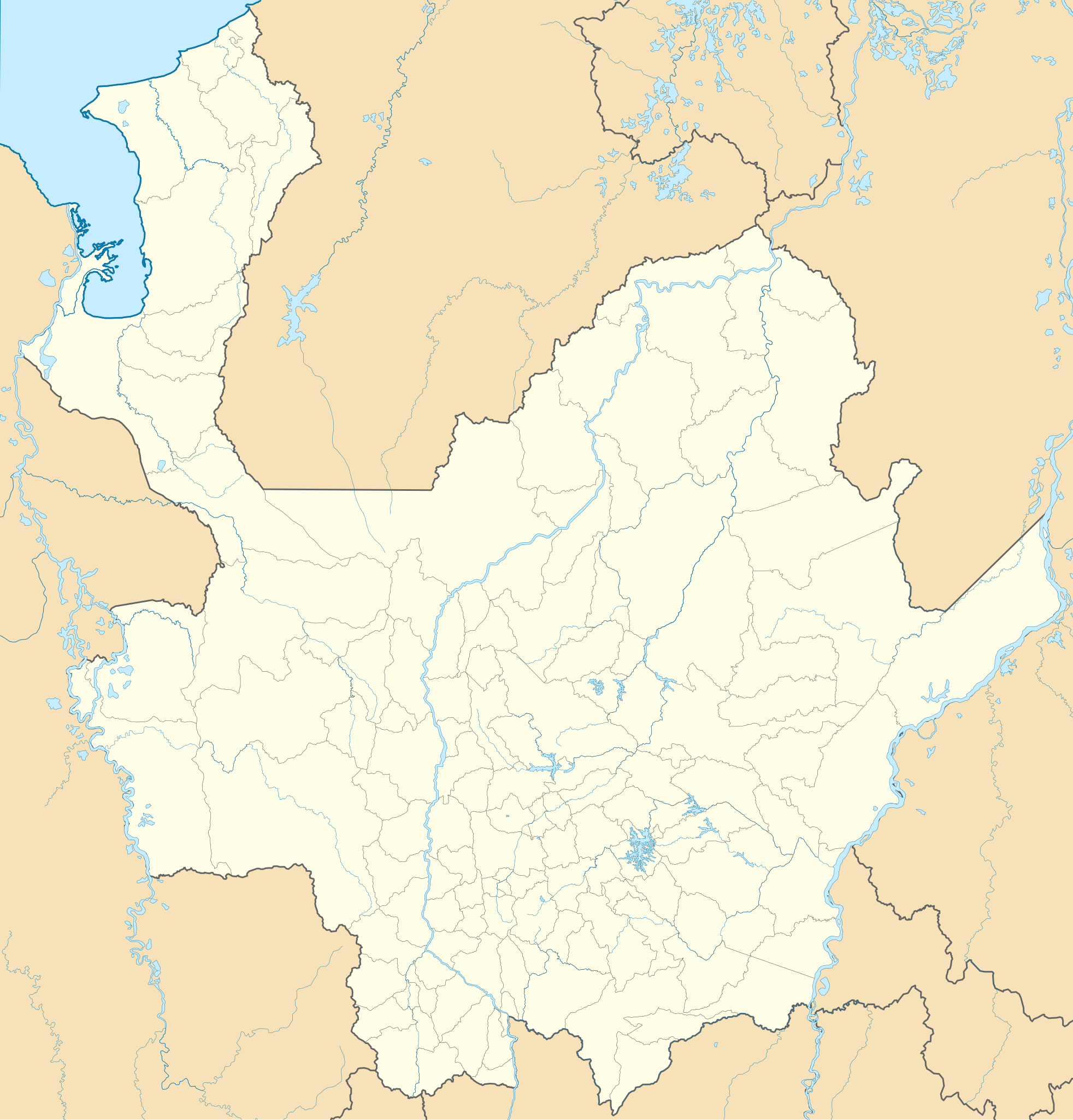
| Description |
English: Location map of Antioquia
Equirectangular projection. Geographic limits of the map:
Español: Mapa localizador de Antioquia
Proyección cilíndrica equidistante. |
| Date | |
| Source | Own work |
| Author | Milenioscuro |
| Other versions |
|

.svg)
.svg)
.svg)
.svg)
.svg)
.svg)
.svg)
Licensing edit
I, the copyright holder of this work, hereby publish it under the following license:
This file is licensed under the Creative Commons Attribution-Share Alike 3.0 Unported license.
- You are free:
- to share – to copy, distribute and transmit the work
- to remix – to adapt the work
- Under the following conditions:
- attribution – You must give appropriate credit, provide a link to the license, and indicate if changes were made. You may do so in any reasonable manner, but not in any way that suggests the licensor endorses you or your use.
- share alike – If you remix, transform, or build upon the material, you must distribute your contributions under the same or compatible license as the original.
File history
Click on a date/time to view the file as it appeared at that time.
| Date/Time | Thumbnail | Dimensions | User | Comment | |
|---|---|---|---|---|---|
| current | 23:16, 1 December 2014 | | 2,000 × 2,085 (1.15 MB) | Milenioscuro (talk | contribs) | corrijo fronteras, curso de ríos, etc |
| 00:45, 7 July 2012 |  | 1,942 × 2,024 (1.26 MB) | Milenioscuro (talk | contribs) | limites de acuerdo a los mapas de la gobernacion | |
| 06:36, 27 December 2011 |  | 1,942 × 2,024 (850 KB) | Milenioscuro (talk | contribs) | layers, borders, other changes | |
| 03:31, 13 August 2011 |  | 1,995 × 2,018 (889 KB) | Milenioscuro (talk | contribs) | boundaries | |
| 18:48, 12 August 2011 |  | 1,995 × 2,018 (884 KB) | Milenioscuro (talk | contribs) | arreglos | |
| 04:41, 22 July 2011 |  | 1,995 × 2,018 (883 KB) | Milenioscuro (talk | contribs) | standardization | |
| 04:45, 17 February 2010 |  | 1,995 × 2,018 (963 KB) | Milenioscuro (talk | contribs) | {{Information |Description={{en|1=Location map of Antioquia}} {{es|1=Mapa localizador de Antioquia}} |Source={{own}} |Author=Shadowxfox |Date=16-02-2010 |Permission= |other_versions= }} Category:Location maps of Colombia [[Categor |
You cannot overwrite this file.
File usage on Commons
The following 3 pages use this file:
File usage on other wikis
The following other wikis use this file:
- Usage on ba.wikipedia.org
- Usage on bg.wikipedia.org
- Usage on cs.wikipedia.org
- Usage on de.wikipedia.org
- Usage on en.wikipedia.org
- José María Córdova International Airport
- Antonio Roldán Betancur Airport
- Juan H. White Airport
- El Bagre Airport
- Otú Airport
- Module:Location map/data/Colombia Antioquia Department/doc
- Vigía del Fuerte Airport
- Urrao Airport
- Gonzalo Mejía Airport
- Santa Fe de Antioquia Airport
- Puerto Nare Airport
- Morela Airport
- Necoclí Airport
- Jaime Ortiz Betancur Airport
- Amalfi Airport (Colombia)
- Module:Location map/data/Colombia Antioquia Department
- Hacienda Napoles Airstrip
- La Linda, Antioquia
- San Antonio de Padua, Antioquia
- Andes Airport
- Usage on eo.wikipedia.org
- Medeĝino
- Departemento Antjokio
- Metropolita Katedralo de Medeĝino
- Sankta Fido de Antjokio
- Golfo Urabao
- Ŝablono:Situo sur mapo Kolombio Antjokio
- Bello (Kolombio)
- Itagüí
- Envigado
- La Estrella (Antjokio)
- Sabaneta
- San Antonio (Metroo de Medellín)
- Hospital (Metroo de Medellín)
- Prado (Metroo de Medellín)
- Parque Berrío (Metroo de Medellín)
- Universidad (Metroo de Medellín)
- Alpujarra (Metroo de Medellín)
- Cisneros (Metroo de Medellín)
- Suramericana (Metroo de Medellín)
- Caribe (Metroo de Medellín)
- Estadio (Metroo de Medellín)
- Floresta (Metroo de Medellín)
- Santa Lucía (Metroo de Medellín)
- San Javier (Metroo de Medellín)
- Exposiciones (Metroo de Medellín)
- Industriales (Metroo de Medellín)
View more global usage of this file.