File:Contextual view from south - Ackerly Creek Bridge, South Turnpike Road (State Route 4011), Dalton, Lackawanna County, PA HAER PA,35-DALT,1-1.tif
Size of this JPG preview of this TIF file: 738 × 600 pixels. Other resolutions: 295 × 240 pixels | 591 × 480 pixels | 945 × 768 pixels | 1,260 × 1,024 pixels | 2,519 × 2,048 pixels | 5,000 × 4,065 pixels.
Original file (5,000 × 4,065 pixels, file size: 19.39 MB, MIME type: image/tiff)
Captions
Captions
Add a one-line explanation of what this file represents
Summary edit
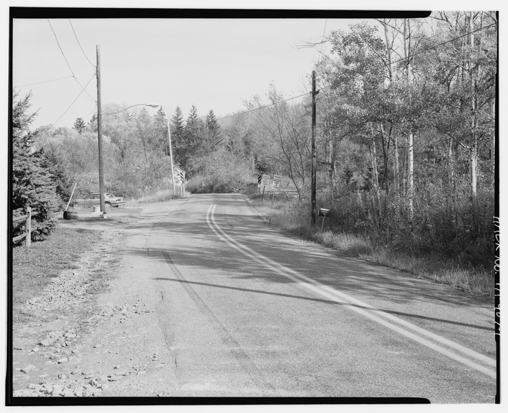
| Contextual view from south - Ackerly Creek Bridge, South Turnpike Road (State Route 4011), Dalton, Lackawanna County, PA | ||||
|---|---|---|---|---|
| Photographer |
Herr, John |
|||
| Title |
Contextual view from south - Ackerly Creek Bridge, South Turnpike Road (State Route 4011), Dalton, Lackawanna County, PA |
|||
| Depicted place | Pennsylvania; Lackawanna County; Dalton | |||
| Date | 1995 | |||
| Dimensions | 4 x 5 in. | |||
| Current location |
Library of Congress Prints and Photographs Division Washington, D.C. 20540 USA http://hdl.loc.gov/loc.pnp/pp.print |
|||
| Accession number |
HAER PA,35-DALT,1-1 |
|||
| Credit line |
|
|||
| Notes |
|
|||
| Source | https://www.loc.gov/pictures/item/pa3480.photos.360236p | |||
| Permission (Reusing this file) |
|
|||

| Object location | | View this and other nearby images on: OpenStreetMap |
|---|
File history
Click on a date/time to view the file as it appeared at that time.
| Date/Time | Thumbnail | Dimensions | User | Comment | |
|---|---|---|---|---|---|
| current | 02:35, 1 August 2014 |  | 5,000 × 4,065 (19.39 MB) | Fæ (talk | contribs) | GWToolset: Creating mediafile for Fæ. HABS 31 July 2014 (3000:3200) |
You cannot overwrite this file.
File usage on Commons
The following page uses this file: