File:DETAIL, TRUSS SYSTEM - Church of the Holy Family, State Route 157, Cahokia, St. Clair County, IL HABS ILL,82-CAHO,1-10.tif

Size of this JPG preview of this TIF file: 744 × 600 pixels. Other resolutions: 298 × 240 pixels | 595 × 480 pixels | 953 × 768 pixels | 1,270 × 1,024 pixels | 2,540 × 2,048 pixels | 5,000 × 4,032 pixels.
Original file (5,000 × 4,032 pixels, file size: 19.23 MB, MIME type: image/tiff)
Captions
Captions
Add a one-line explanation of what this file represents
Summary edit
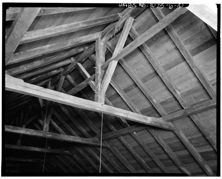
| DETAIL, TRUSS SYSTEM - Church of the Holy Family, State Route 157, Cahokia, St. Clair County, IL | ||||
|---|---|---|---|---|
| Photographer |
Related names:
|
|||
| Title |
DETAIL, TRUSS SYSTEM - Church of the Holy Family, State Route 157, Cahokia, St. Clair County, IL |
|||
| Depicted place | Illinois; St. Clair County; Cahokia | |||
| Date | Documentation compiled after 1933 | |||
| Current location |
Library of Congress Prints and Photographs Division Washington, D.C. 20540 USA http://hdl.loc.gov/loc.pnp/pp.print |
|||
| Accession number |
HABS ILL,82-CAHO,1-10 |
|||
| Credit line |
|
|||
| Notes |
|
|||
| References |
|
|||
| Source | https://www.loc.gov/pictures/item/il0275.photos.064049p | |||
| Permission (Reusing this file) |
|
|||

| Object location | | View this and other nearby images on: OpenStreetMap |
|---|
File history
Click on a date/time to view the file as it appeared at that time.
| Date/Time | Thumbnail | Dimensions | User | Comment | |
|---|---|---|---|---|---|
| current | 17:53, 16 July 2014 |  | 5,000 × 4,032 (19.23 MB) | Fæ (talk | contribs) | GWToolset: Creating mediafile for Fæ. HABS 11 July 2014 (1001:1200) |
You cannot overwrite this file.
File usage on Commons
The following page uses this file: