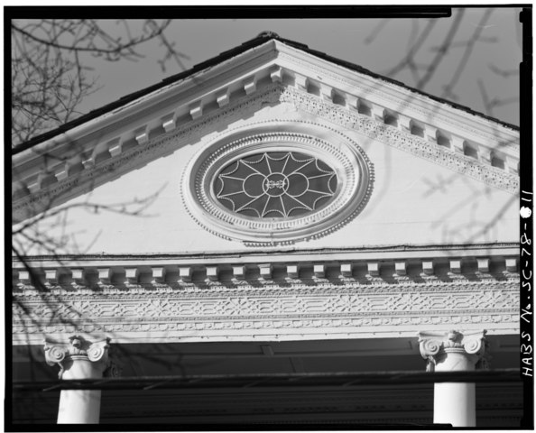
File:DETAIL OF FRONT PORTICO PEDIMENT - Miles Brewton House, 27 King Street, Charleston, Charleston County, SC HABS SC,10-CHAR,5-11.tif

Size of this JPG preview of this TIF file: 742 × 600 pixels. Other resolutions: 297 × 240 pixels | 594 × 480 pixels | 950 × 768 pixels | 1,267 × 1,024 pixels | 2,534 × 2,048 pixels | 5,000 × 4,042 pixels.
Original file (5,000 × 4,042 pixels, file size: 19.28 MB, MIME type: image/tiff)
Captions
Captions
Miles Brewton House.
Summary edit
| DETAIL OF FRONT PORTICO PEDIMENT - Miles Brewton House, 27 King Street, Charleston, Charleston County, SC | ||||
|---|---|---|---|---|
| Photographer |
Bayless, Charles N. |
|||
| Title |
DETAIL OF FRONT PORTICO PEDIMENT - Miles Brewton House, 27 King Street, Charleston, Charleston County, SC |
|||
| Depicted place | South Carolina; Charleston County; Charleston | |||
| Date | 1978 | |||
| Dimensions | 4 x 5 in. | |||
| Current location |
Library of Congress Prints and Photographs Division Washington, D.C. 20540 USA http://hdl.loc.gov/loc.pnp/pp.print |
|||
| Accession number |
HABS SC,10-CHAR,5-11 |
|||
| Credit line |
|
|||
| Notes |
|
|||
| References |
|
|||
| Source | https://www.loc.gov/pictures/item/sc0262.photos.148742p | |||
| Permission (Reusing this file) |
|
|||

| Object location | | View this and other nearby images on: OpenStreetMap |
|---|
File history
Click on a date/time to view the file as it appeared at that time.
| Date/Time | Thumbnail | Dimensions | User | Comment | |
|---|---|---|---|---|---|
| current | 07:25, 31 July 2014 |  | 5,000 × 4,042 (19.28 MB) | Fæ (talk | contribs) | GWToolset: Creating mediafile for Fæ. HABS 31 July 2014 (3201:3400) |
You cannot overwrite this file.
File usage on Commons
The following page uses this file: