File:DETAIL OF SPAN, UPPER SOUTHWEST CORNER - Edgefield County Bridge No. 3, Road S-63 spanning Log Creek, Pleasant Lane, Edgefield County, SC HAER SC,19-PLELA.V,1-3.tif
Size of this JPG preview of this TIF file: 750 × 600 pixels. Other resolutions: 300 × 240 pixels | 600 × 480 pixels | 961 × 768 pixels | 1,280 × 1,023 pixels | 2,560 × 2,047 pixels | 5,000 × 3,998 pixels.
Original file (5,000 × 3,998 pixels, file size: 19.07 MB, MIME type: image/tiff)
Captions
Captions
Add a one-line explanation of what this file represents
Summary edit
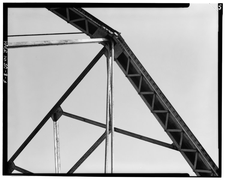
| DETAIL OF SPAN, UPPER SOUTHWEST CORNER - Edgefield County Bridge No. 3, Road S-63 spanning Log Creek, Pleasant Lane, Edgefield County, SC | ||||
|---|---|---|---|---|
| Photographer |
Clarkson, Hunter H. |
|||
| Title |
DETAIL OF SPAN, UPPER SOUTHWEST CORNER - Edgefield County Bridge No. 3, Road S-63 spanning Log Creek, Pleasant Lane, Edgefield County, SC |
|||
| Description |
South Carolina Department of Highways and Public Transportation; Wells, W C; Herin, J O; Broodwater, W L; Nicholson, B E |
|||
| Depicted place | South Carolina; Edgefield County; Pleasant Lane | |||
| Date | 1983 | |||
| Dimensions | 4 x 5 in. | |||
| Current location |
Library of Congress Prints and Photographs Division Washington, D.C. 20540 USA http://hdl.loc.gov/loc.pnp/pp.print |
|||
| Accession number |
HAER SC,19-PLELA.V,1-3 |
|||
| Credit line |
|
|||
| Notes |
|
|||
| Source | https://www.loc.gov/pictures/item/sc0074.photos.149823p | |||
| Permission (Reusing this file) |
|
|||

| Object location | | View this and other nearby images on: OpenStreetMap |
|---|
File history
Click on a date/time to view the file as it appeared at that time.
| Date/Time | Thumbnail | Dimensions | User | Comment | |
|---|---|---|---|---|---|
| current | 23:50, 1 August 2014 |  | 5,000 × 3,998 (19.07 MB) | Fæ (talk | contribs) | GWToolset: Creating mediafile for Fæ. HABS 31 July 2014 (3000:3200) |
You cannot overwrite this file.
File usage on Commons
The following page uses this file: