File:EAST FRONT, TOP FOUR FLOORS - Rossmore Apartment House, 664 South Fourth Avenue, Louisville, Jefferson County, KY HABS KY,56-LOUVI,70-3.tif
Size of this JPG preview of this TIF file: 758 × 600 pixels. Other resolutions: 304 × 240 pixels | 607 × 480 pixels | 971 × 768 pixels | 1,280 × 1,013 pixels | 2,560 × 2,025 pixels | 4,969 × 3,931 pixels.
Original file (4,969 × 3,931 pixels, file size: 18.63 MB, MIME type: image/tiff)
Captions
Captions
Add a one-line explanation of what this file represents
Summary edit
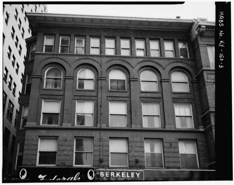
| EAST FRONT, TOP FOUR FLOORS - Rossmore Apartment House, 664 South Fourth Avenue, Louisville, Jefferson County, KY | ||||
|---|---|---|---|---|
| Title |
EAST FRONT, TOP FOUR FLOORS - Rossmore Apartment House, 664 South Fourth Avenue, Louisville, Jefferson County, KY |
|||
| Depicted place | Kentucky; Jefferson County; Louisville | |||
| Date | Documentation compiled after 1933 | |||
| Dimensions | 4 x 5 in. | |||
| Current location |
Library of Congress Prints and Photographs Division Washington, D.C. 20540 USA http://hdl.loc.gov/loc.pnp/pp.print |
|||
| Accession number |
HABS KY,56-LOUVI,70-3 |
|||
| Credit line |
|
|||
| Notes |
|
|||
| Source | https://www.loc.gov/pictures/item/ky0190.photos.071190p | |||
| Permission (Reusing this file) |
|
|||

| Object location | | View this and other nearby images on: OpenStreetMap |
|---|
File history
Click on a date/time to view the file as it appeared at that time.
| Date/Time | Thumbnail | Dimensions | User | Comment | |
|---|---|---|---|---|---|
| current | 00:07, 20 July 2014 |  | 4,969 × 3,931 (18.63 MB) | Fæ (talk | contribs) | GWToolset: Creating mediafile for Fæ. HABS 16 July 2014 (1201:1400) |
You cannot overwrite this file.
File usage on Commons
The following page uses this file: