File:EAST VIEW OF STRUCTURE V. CONCRETE FOUNDATION - Superior Coal Mines, Concrete Foundation, Horse Thief Canyon, South Superior, Sweetwater County, WY HAER WYO,19-SOSUP.V,1V-1.tif
Size of this JPG preview of this TIF file: 760 × 600 pixels. Other resolutions: 304 × 240 pixels | 608 × 480 pixels | 973 × 768 pixels | 1,280 × 1,010 pixels | 2,560 × 2,020 pixels | 5,000 × 3,946 pixels.
Original file (5,000 × 3,946 pixels, file size: 18.82 MB, MIME type: image/tiff)
Captions
Captions
Add a one-line explanation of what this file represents
Summary edit
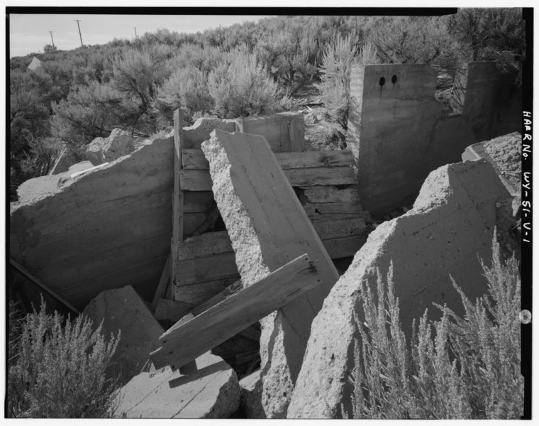
| EAST VIEW OF STRUCTURE V. CONCRETE FOUNDATION - Superior Coal Mines, Concrete Foundation, Horse Thief Canyon, South Superior, Sweetwater County, WY | ||||
|---|---|---|---|---|
| Title |
EAST VIEW OF STRUCTURE V. CONCRETE FOUNDATION - Superior Coal Mines, Concrete Foundation, Horse Thief Canyon, South Superior, Sweetwater County, WY |
|||
| Depicted place | Wyoming; Sweetwater County; South Superior | |||
| Date | Documentation compiled after 1968 | |||
| Dimensions | 4 x 5 in. | |||
| Current location |
Library of Congress Prints and Photographs Division Washington, D.C. 20540 USA http://hdl.loc.gov/loc.pnp/pp.print |
|||
| Accession number |
HAER WYO,19-SOSUP.V,1V-1 |
|||
| Credit line |
|
|||
| Notes |
|
|||
| Source | https://www.loc.gov/pictures/item/wy0437.photos.374176p | |||
| Permission (Reusing this file) |
|
|||

File history
Click on a date/time to view the file as it appeared at that time.
| Date/Time | Thumbnail | Dimensions | User | Comment | |
|---|---|---|---|---|---|
| current | 04:55, 5 August 2014 |  | 5,000 × 3,946 (18.82 MB) | Fæ (talk | contribs) | GWToolset: Creating mediafile for Fæ. HABS 2014-08-04 3801-4000 |
You cannot overwrite this file.
File usage on Commons
The following page uses this file: