File:EXTERIOR VIEW OF THE WEST ELEVATION, GARAGE - Polychrome House No. 1, 9900 Colesville Road (U.S. Route 29), Silver Spring, Montgomery County, MD HABS MD,16-SILSPR,1-3.tif

Size of this JPG preview of this TIF file: 744 × 600 pixels. Other resolutions: 298 × 240 pixels | 596 × 480 pixels | 953 × 768 pixels | 1,271 × 1,024 pixels | 2,541 × 2,048 pixels | 5,000 × 4,030 pixels.
Original file (5,000 × 4,030 pixels, file size: 19.22 MB, MIME type: image/tiff)
Captions
Captions
Add a one-line explanation of what this file represents
Summary edit
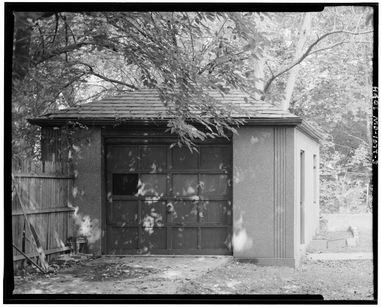
| EXTERIOR VIEW OF THE WEST ELEVATION, GARAGE - Polychrome House No. 1, 9900 Colesville Road (U.S. Route 29), Silver Spring, Montgomery County, MD | ||||
|---|---|---|---|---|
| Photographer |
Berg, David C |
|||
| Title |
EXTERIOR VIEW OF THE WEST ELEVATION, GARAGE - Polychrome House No. 1, 9900 Colesville Road (U.S. Route 29), Silver Spring, Montgomery County, MD |
|||
| Depicted place | Maryland; Montgomery County; Silver Spring | |||
| Date | 1992 | |||
| Dimensions | 4 x 5 in. | |||
| Current location |
Library of Congress Prints and Photographs Division Washington, D.C. 20540 USA http://hdl.loc.gov/loc.pnp/pp.print |
|||
| Accession number |
HABS MD,16-SILSPR,1-3 |
|||
| Credit line |
|
|||
| Notes |
|
|||
| Source |
|
|||
| Permission (Reusing this file) |
|
|||


Related names:
- Capen, Judith M, project manager
- University of Maryland, Historic Preservation Program, sponsor
- Cary, Brian, transmitter
- Berg, David C, photographer
- Carter, Virginia L, delineator
- Price, Virginia B, transmitter
| Object location | | View this and other nearby images on: OpenStreetMap |
|---|
File history
Click on a date/time to view the file as it appeared at that time.
| Date/Time | Thumbnail | Dimensions | User | Comment | |
|---|---|---|---|---|---|
| current | 19:49, 28 July 2014 |  | 5,000 × 4,030 (19.22 MB) | Fæ (talk | contribs) | GWToolset: Creating mediafile for Fæ. HABS 21 July 2014 (1601:1800) |
You cannot overwrite this file.
File usage on Commons
The following page uses this file: