File:East faand-231;ade, ambulance entrance. - Richmond Field Hospital, 1330 Cutting Boulevard, Richmond, Contra Costa County, CA HABS CAL,7-RICH,4-12.tif
Size of this JPG preview of this TIF file: 800 × 583 pixels. Other resolutions: 320 × 233 pixels | 640 × 466 pixels | 1,024 × 746 pixels | 1,280 × 932 pixels | 2,560 × 1,865 pixels | 4,802 × 3,498 pixels.
Original file (4,802 × 3,498 pixels, file size: 16.02 MB, MIME type: image/tiff)
Captions
Captions
Add a one-line explanation of what this file represents
Summary edit
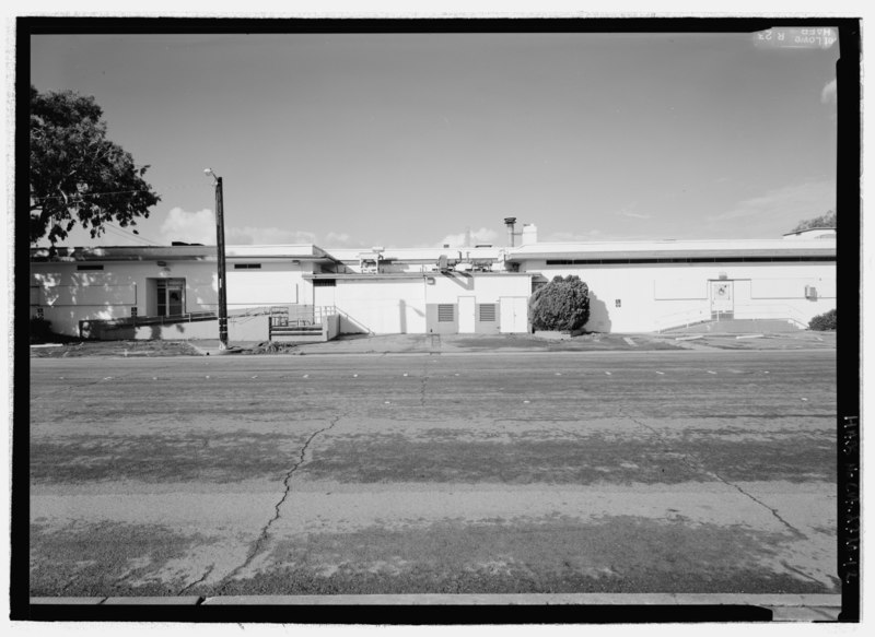
| East faand-231;ade, ambulance entrance. - Richmond Field Hospital, 1330 Cutting Boulevard, Richmond, Contra Costa County, CA | ||||
|---|---|---|---|---|
| Photographer |
Lowe, Jet Related names:
|
|||
| Title |
East faand-231;ade, ambulance entrance. - Richmond Field Hospital, 1330 Cutting Boulevard, Richmond, Contra Costa County, CA |
|||
| Depicted place | California; Contra Costa County; Richmond | |||
| Date | Documentation compiled after 1933 | |||
| Dimensions | 5 x 7 in. | |||
| Current location |
Library of Congress Prints and Photographs Division Washington, D.C. 20540 USA http://hdl.loc.gov/loc.pnp/pp.print |
|||
| Accession number |
HABS CAL,7-RICH,4-12 |
|||
| Credit line |
|
|||
| Notes |
|
|||
| Source | https://www.loc.gov/pictures/item/ca3068.photos.201628p | |||
| Permission (Reusing this file) |
|
|||

| Object location | | View this and other nearby images on: OpenStreetMap |
|---|
File history
Click on a date/time to view the file as it appeared at that time.
| Date/Time | Thumbnail | Dimensions | User | Comment | |
|---|---|---|---|---|---|
| current | 05:56, 6 July 2014 |  | 4,802 × 3,498 (16.02 MB) | Fæ (talk | contribs) | GWToolset: Creating mediafile for Fæ. HABS 05 July 2014 (501:600) |
You cannot overwrite this file.
File usage on Commons
The following page uses this file: