File:Greece (ancient) Chalcidice (cropped).svg

Size of this PNG preview of this SVG file: 792 × 599 pixels. Other resolutions: 317 × 240 pixels | 634 × 480 pixels | 1,015 × 768 pixels | 1,280 × 969 pixels | 2,560 × 1,937 pixels | 1,591 × 1,204 pixels.
Original file (SVG file, nominally 1,591 × 1,204 pixels, file size: 1.75 MB)
Captions
Captions
Add a one-line explanation of what this file represents
Summary edit
_Chalcidice_(cropped).svg&action=edit§ion=1)
| Description |
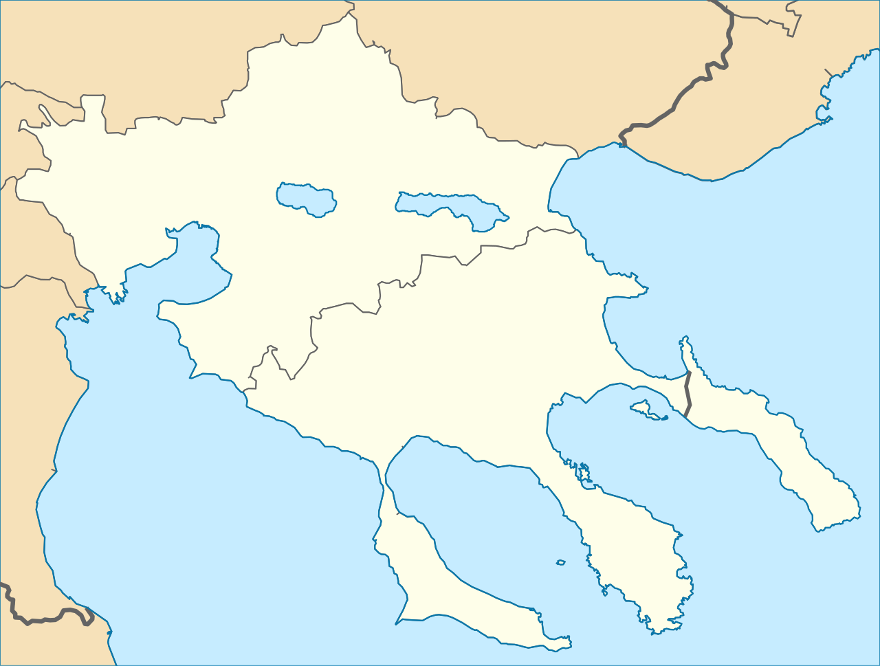
English: Regions localizations map of ancient Greece. Chalcidice. Map boundaries: top=41.01; bottom=39.94; left=22.48; right=24.44. Italiano: Mappa di localizzazione delle antiche regioni greche. Calcidica |
| Date | (UTC) |
| Source |
This file was derived from: Peripheries of Greece numbered.svg: |
| Author |
|
| This is a retouched picture, which means that it has been digitally altered from its original version. Modifications: Localization map. The original can be viewed here: Peripheries of Greece numbered.svg:
|
Licensing edit
_Chalcidice_(cropped).svg&action=edit§ion=2)
I, the copyright holder of this work, hereby publish it under the following license:
This file is licensed under the Creative Commons Attribution-Share Alike 3.0 Unported license.
- You are free:
- to share – to copy, distribute and transmit the work
- to remix – to adapt the work
- Under the following conditions:
- attribution – You must give appropriate credit, provide a link to the license, and indicate if changes were made. You may do so in any reasonable manner, but not in any way that suggests the licensor endorses you or your use.
- share alike – If you remix, transform, or build upon the material, you must distribute your contributions under the same or compatible license as the original.
Original upload log edit
_Chalcidice_(cropped).svg&action=edit§ion=3)
This image is a derivative work of the following images:
- File:Peripheries_of_Greece_numbered.svg licensed with Cc-by-sa-3.0
- 2011-08-09T14:56:32Z Philly boy92 7304x7315 (1886391 Bytes) {{Information |Description={{en|1=The peripheries of Greece (2011), numbered.}} |Source=*[[:File:Greek_Macedonia_map_with_subdivisions.svg|]] |Date=2011-08-09 14:54 (UTC) |Author=*[[:File:Greek_Macedonia_map_with_subdivisions
File history
Click on a date/time to view the file as it appeared at that time.
| Date/Time | Thumbnail | Dimensions | User | Comment | |
|---|---|---|---|---|---|
| current | 12:20, 23 February 2014 | | 1,591 × 1,204 (1.75 MB) | Fulvio314 (talk | contribs) | colors as approved |
| 06:15, 22 February 2014 |  | 1,775 × 1,392 (1.74 MB) | Fulvio314 (talk | contribs) | == {{int:filedesc}} == {{Information |Description={{en|1=Regions localizations map of ancient Greece. Chalcidice}}{{it|1=Mappa di localizzazione delle antiche regioni greche. Calcidica}} |Source={{Derived from|Peripheries_of_Greece_numbered.svg|display... |
You cannot overwrite this file.
File usage on Commons
The following page uses this file:
File usage on other wikis
The following other wikis use this file:
- Usage on fr.wikipedia.org
- Usage on it.wikipedia.org
_Chalcidice_(cropped).svg&oldid=506510719)