File:Haterumajima Island Aerial photograph.2009.jpg

Size of this preview: 800 × 352 pixels. Other resolutions: 320 × 141 pixels | 640 × 282 pixels | 1,024 × 450 pixels | 1,280 × 563 pixels | 2,560 × 1,126 pixels | 8,074 × 3,552 pixels.
Original file (8,074 × 3,552 pixels, file size: 6.69 MB, MIME type: image/jpeg)
Captions
Captions
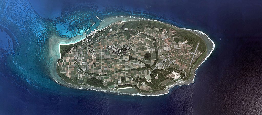
Hateruma Island
Summary
edit
| Description |
日本語: English: Haterumajima Island Aerial photograph.2009
日本語: 波照間島(沖縄県竹富町)の空中写真。COK20096X-C7-1、COK20096X-C7-2、COK20096X-C7-3、COK20096X-C7-4、COK20096X-C7-5、COK20096X-C7-6、COK20096X-C7-7、COK20096X-C7-8の8枚を合成作成。 |
| Date | |
| Source | 国土情報ウェブマッピングシステム |
| Author | 国土地理院 |
Licensing
edit

|
The copyright holder of this file, the Ministry of Land, Infrastructure, Transport and Tourism of Japan, allows anyone to use it for any purpose, provided that the copyright holder is properly attributed. Redistribution, derivative work, commercial use, and all other use is permitted. |
Attribution:
Copyright © National Land Image Information (Color Aerial Photographs), Ministry of Land, Infrastructure, Transport and Tourism
|
 |
This image is copyrighted by the Ministry of Land, Infrastructure, Transport and Tourism of Japan. For terms of use, see the stipulation to use of National Land Information (in Japanese) and message from MLIT (in Japanese and English). When you display this image on an article, include the following phrase in the description: "Made based on National Land Image Information (Color Aerial Photographs), Ministry of Land, Infrastructure, Transport and Tourism".
|
File history
Click on a date/time to view the file as it appeared at that time.
| Date/Time | Thumbnail | Dimensions | User | Comment | |
|---|---|---|---|---|---|
| current | 06:59, 19 March 2018 | | 8,074 × 3,552 (6.69 MB) | さかおり (talk | contribs) | User created page with UploadWizard |
You cannot overwrite this file.
File usage on Commons
The following 3 pages use this file:
File usage on other wikis
The following other wikis use this file:
- Usage on de.wikipedia.org
- Usage on en.wikipedia.org
- Usage on es.wikipedia.org
- Usage on fr.wikipedia.org
- Usage on id.wikipedia.org
- Usage on ja.wikipedia.org
- Usage on ko.wikipedia.org
- Usage on pt.wikipedia.org
- Usage on www.wikidata.org
- Usage on zh.wikipedia.org