File:India Nagaland location map.svg

Size of this PNG preview of this SVG file: 649 × 599 pixels. Other resolutions: 260 × 240 pixels | 520 × 480 pixels | 832 × 768 pixels | 1,109 × 1,024 pixels | 2,218 × 2,048 pixels | 889 × 821 pixels.
Original file (SVG file, nominally 889 × 821 pixels, file size: 192 KB)
Captions
Captions
Add a one-line explanation of what this file represents
Summary edit
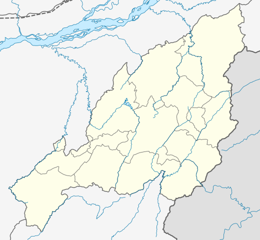
| Description |
Location map of Nagaland Geographic limits of the map:
|
| Date | |
| Source | |
| Author |
|
| Other versions |
|

Licensing edit
I, the copyright holder of this work, hereby publish it under the following license:
This file is licensed under the Creative Commons Attribution-Share Alike 3.0 Unported license.
- You are free:
- to share – to copy, distribute and transmit the work
- to remix – to adapt the work
- Under the following conditions:
- attribution – You must give appropriate credit, provide a link to the license, and indicate if changes were made. You may do so in any reasonable manner, but not in any way that suggests the licensor endorses you or your use.
- share alike – If you remix, transform, or build upon the material, you must distribute your contributions under the same or compatible license as the original.
File history
Click on a date/time to view the file as it appeared at that time.
| Date/Time | Thumbnail | Dimensions | User | Comment | |
|---|---|---|---|---|---|
| current | 04:14, 17 April 2022 | | 889 × 821 (192 KB) | C1MM (talk | contribs) | Added four new districts |
| 05:02, 21 May 2021 |  | 889 × 821 (267 KB) | C1MM (talk | contribs) | Fixed borders and rivers, changed line weight | |
| 06:45, 23 February 2021 |  | 731 × 675 (187 KB) | C1MM (talk | contribs) | Fixed borders of districts and rivers | |
| 00:44, 13 April 2020 |  | 646 × 669 (88 KB) | C1MM (talk | contribs) | Updated districts | |
| 18:13, 6 July 2014 |  | 646 × 669 (87 KB) | Milenioscuro (talk | contribs) | User created page with UploadWizard |
You cannot overwrite this file.
File usage on Commons
The following 15 pages use this file:
- File:India Nagaland relief map.png
- Category:Airports in Nagaland
- Category:Births in Nagaland
- Category:Education in Nagaland
- Category:Events in Nagaland
- Category:Festivals of Nagaland
- Category:Flora of Nagaland
- Category:Jain temples in Nagaland
- Category:Maps of Nagaland
- Category:Nagaland
- Category:People of Nagaland
- Category:Populated places in Nagaland
- Category:Rail transport in Nagaland
- Category:Roads in Nagaland
- Category:Transport in Nagaland
File usage on other wikis
The following other wikis use this file:
- Usage on azb.wikipedia.org
- Usage on bh.wikipedia.org
- Usage on bn.wikipedia.org
- Usage on de.wikipedia.org
- Usage on en.wikipedia.org
View more global usage of this file.